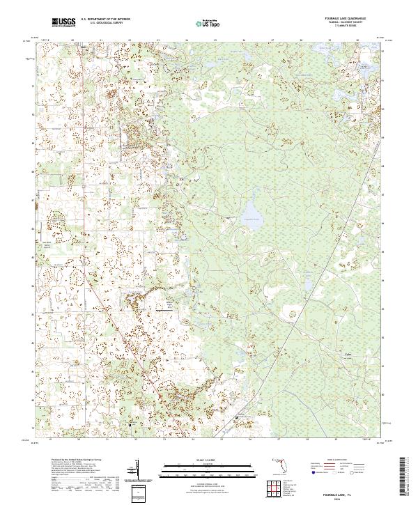
2024 Map of Fourmile Lake
USGS Topo · Published 2024About this map
Waccasassa Flats dominates the northeastern landscape of this Gilchrist County region, illustrating the complex wetland and prairie systems characteristic of north-central Florida. The map identifies the small settlements of Bell and Tyler, providing a modern look at rural community placement along the road networks. A significant concentration of sinkhole ponds and lakes, including Fourmile Lake, Threemile Lake, and Joppa Lake, punctuates the terrain, reflecting the underlying karst topography.
Find a feature on this map
120 named features on this map. Tap any name to fly to it.
Don’t see what you’re looking for? This feature index may not catch every label — zoom into the map to look around manually.
Map Details
Editions of this 2024 Fourmile Lake Map
This is the sole edition of this map. No revisions or reprints were ever made.
Other maps of this area

1954 · Gainesville
USGS Topo · 1:250,000

1958 · Gainesville
USGS Topo · 1:250,000

1959 · Gainesville
USGS Topo · 1:250,000

1968 · Newberry SW
USGS Topo · 1:24,000

1968 · Waters Lake
USGS Topo · 1:24,000

1968 · Fourmile Lake
USGS Topo · 1:24,000

1968 · Hatchbend
USGS Topo · 1:24,000

1968 · Trenton
USGS Topo · 1:24,000
1968 · Suwannee River
USGS Topo · 1:24,000
1968 · Wannee
USGS Topo · 1:24,000