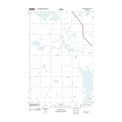
2010 Map of Fourmile Lake
USGS Topo · Published 2010About this map
Pomme de Terre River and its associated chain of lakes define the hydrography of this section of Minnesota, where the waterway flows south into the expansive Pomme de Terre Lake. This 2010 survey illustrates a landscape primarily shaped by glacial depressions, featuring numerous named bodies of water including Tenmile Lake, Fourmile Lake, and Skunk Lake. The presence of the Ten Mile Lake Dam indicates localized water level management in a region where drainage patterns are often subtle.
Find a feature on this map
53 named features on this map. Tap any name to fly to it.
Don’t see what you’re looking for? This feature index may not catch every label — zoom into the map to look around manually.
Map Details
Editions of this 2010 Fourmile Lake Map
This is the sole edition of this map. No revisions or reprints were ever made.
Other maps of this area

1910 · Wendell
USGS Topo · 1:62,500

1911 · Barrett
USGS Topo · 1:62,500

1911 · Herman
USGS Topo · 1:62,500

1913 · Ashby
USGS Topo · 1:62,500

1913 · Wendell
USGS Topo · 1:62,500

1953 · Milbank
USGS Topo · 1:250,000

1953 · Fargo
USGS Topo · 1:250,000

1953 · Brainerd
USGS Topo · 1:250,000

1953 · Saint Cloud
USGS Topo · 1:250,000

1956 · Fargo
USGS Topo · 1:250,000