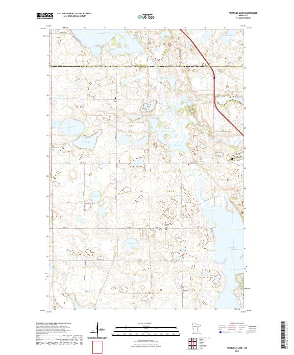
2022 Map of Fourmile Lake
USGS Topo · Published 2022About this map
The Pomme de Terre River meanders through this landscape of the Minnesota glacial till plains, defining a corridor of wetlands and open water. The map documents a dense network of local water bodies including Tenmile Lake, Fourmile Lake, and the expansive Pomme de Terre Lake at the southern edge. This topography, characterized by numerous depressions and basins, reflects the post-glacial drainage patterns common across the Otter Tail and Grant county line.
Find a feature on this map
75 named features on this map. Tap any name to fly to it.
Don’t see what you’re looking for? This feature index may not catch every label — zoom into the map to look around manually.
Map Details
Editions of this 2022 Fourmile Lake Map
This is the sole edition of this map. No revisions or reprints were ever made.
Other maps of this area

1910 · Wendell
USGS Topo · 1:62,500

1911 · Barrett
USGS Topo · 1:62,500

1911 · Herman
USGS Topo · 1:62,500

1913 · Ashby
USGS Topo · 1:62,500

1913 · Wendell
USGS Topo · 1:62,500

1953 · Milbank
USGS Topo · 1:250,000

1953 · Fargo
USGS Topo · 1:250,000

1953 · Brainerd
USGS Topo · 1:250,000

1953 · Saint Cloud
USGS Topo · 1:250,000

1956 · Fargo
USGS Topo · 1:250,000