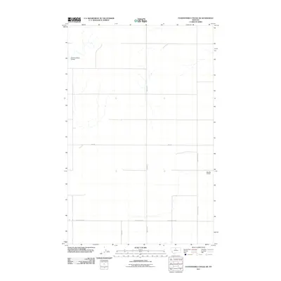
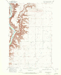
2011 Map of Fourteenmile Coulee SW
USGS Topo · Published 2011About this map
East Fork Black Coulee and Sixmile Coulee carve through this section of Hill County, Montana, defining the natural drainage patterns of a landscape primarily organized by a rigid section-line road grid. The presence of Hwy-366 serves as the primary east-west arterial, while local thoroughfares like Hingham Rd, North Rd, and Spring Coulee Rd facilitate access across the open plains. This 2011 survey, produced from NAIP imagery and GNIS data, illustrates the contemporary rural infrastructure where property boundaries and access routes like Black Coulee Rd W and Black Coulee Rd E are closely tied to the coulees that dictate the local topography.
Find a feature on this map
8 named features on this map. Tap any name to fly to it.
Don’t see what you’re looking for? This feature index may not catch every label — zoom into the map to look around manually.
Map Details
Editions of this 2011 Fourteenmile Coulee SW Map
This is the sole edition of this map. No revisions or reprints were ever made.
Other maps of this area

1906 · Lonesome
USGS Topo · 1:62,500

1919 · Big Sandy
USGS Topo · 1:125,000

1954 · Shelby
USGS Topo · 1:250,000

1958 · Shelby
USGS Topo · 1:250,000

1969 · Fourteenmile Coulee SW
USGS Topo · 1:24,000

1969 · Fourteenmile Coulee NW
USGS Topo · 1:24,000
1969 · Kenilworth
USGS Topo · 1:24,000
1969 · Fourteenmile Coulee SE
USGS Topo · 1:24,000
1969 · Fourteenmile Coulee NE
USGS Topo · 1:24,000
1969 · Discovery Butte
USGS Topo · 1:24,000