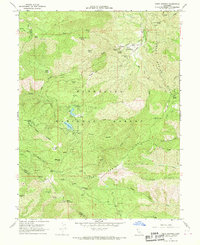
1968 Map of Fouts Springs
USGS Topo · Published 1970About this map
Fouts Springs serves as a central landmark within this portion of the Mendocino National Forest, where the landscape is defined by the convergence of Stony Creek and its many tributaries. In the late 1960s, this area was a hub for backcountry recreation, evidenced by the numerous pack trails and specialized sites like Fouts Camp, Davis Flat, and Mill Valley Campground. The rugged topography transitions from the high peaks of Goat Mountain down into Letts Valley, where Upper Letts Lake is located. The presence of isolated structures such as Sanborn Cabin and Red Rock Cabin suggests a history of remote mountain living or forestry management. Interesting geological and local nomenclature appears throughout the terrain, including Steel Trap Rock, Deafy Glade, and Potato Hill. A small Landing Strip near the springs highlights the era's reliance on small aircraft for access to these mountain reaches.
Find a feature on this map
93 named features on this map. Tap any name to fly to it.
Don’t see what you’re looking for? This feature index may not catch every label — zoom into the map to look around manually.
Map Details
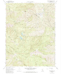
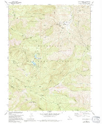
Editions of this 1968 Fouts Springs Map
3 editions found
Other maps of this area

1922 · Hullville
USGS Topo · 1:62,500

1924 · Bartlett Springs
USGS Topo · 1:62,500

1938 · Lakeport
USGS Topo · 1:62,500

1942 · Bartlett Springs
USGS Topo · 1:62,500

1944 · Bartlett Springs
USGS Topo · 1:62,500

1951 · Lake Pillsbury
USGS Topo · 1:62,500

1951 · Lakeport
USGS Topo · 1:62,500

1951 · Stonyford
USGS Topo · 1:62,500

1957 · Ukiah
USGS Topo · 1:250,000
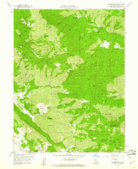
1958 · Bartlett Mtn
USGS Topo · 1:24,000