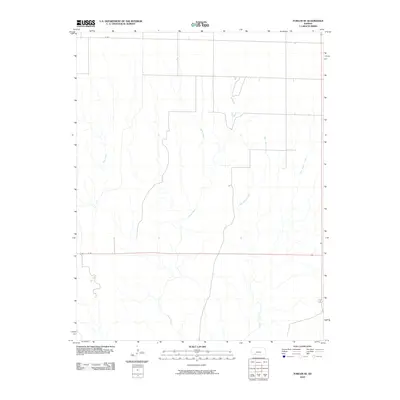
2010 Map of Fowler SE
USGS Topo · Published 2010About this map
Johns Creek and Gyp Creek wind through this rural section of Meade County, defining a landscape dominated by open prairie and intermittent drainages. This 2010 survey by the U.S. Geological Survey illustrates the methodical section-line road grid characteristic of the Great Plains, where routes like H Rd and N Rd provide the primary infrastructure for agricultural access. The eastern portion of the quadrangle is marked by the convergence of West Indian Creek, East Indian Creek, and Indian Creek, showing the natural drainage patterns that have influenced land use in this part of Kansas for generations. The lack of concentrated settlements highlights the expansive, ranch-driven nature of the region during the early 21st century.
Find a feature on this map
7 named features on this map. Tap any name to fly to it.
Don’t see what you’re looking for? This feature index may not catch every label — zoom into the map to look around manually.
Map Details
Editions of this 2010 Fowler SE Map
This is the sole edition of this map. No revisions or reprints were ever made.
Other maps of this area

1892 · Meade
USGS Topo · 1:125,000

1896 · Ashland
USGS Topo · 1:125,000

1955 · Pratt
USGS Topo · 1:250,000

1955 · Dodge City
USGS Topo · 1:250,000

1958 · Dodge City
USGS Topo · 1:250,000

1959 · Pratt
USGS Topo · 1:250,000

1959 · Dodge City
USGS Topo · 1:250,000

1967 · Bloom
USGS Topo · 1:24,000

1967 · Fowler SE
USGS Topo · 1:24,000

1967 · Fowler SW
USGS Topo · 1:24,000