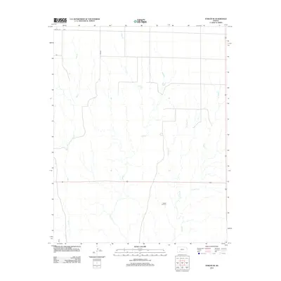
2012 Map of Fowler SE
USGS Topo · Published 2012About this map
Golden Plains Cem sits as a quiet landmark within this rural expanse of Meade County, Kansas, during the early 21st century. The landscape is defined by the dendritic drainage patterns of several intermittent stream systems, including the southward-flowing Johns Cr and Gyp Cr in the west. To the east, the headwaters of the Indian Creek system emerge, marked by W Indian Cr, E Indian Cr, and Indian Cr. The map reveals a strictly regulated section-line road grid, characteristic of the High Plains, with routes like Sand Hill Rd, H Rd, and Co Rd 32 providing access to the open agricultural and grazing lands. This layout illustrates the enduring reliance on the township-and-range surveying system to organize the sparse prairie settlements and ranching operations in this portion of southwest Kansas.
Find a feature on this map
11 named features on this map. Tap any name to fly to it.
Don’t see what you’re looking for? This feature index may not catch every label — zoom into the map to look around manually.
Map Details
Editions of this 2012 Fowler SE Map
This is the sole edition of this map. No revisions or reprints were ever made.
Other maps of this area

1892 · Meade
USGS Topo · 1:125,000

1896 · Ashland
USGS Topo · 1:125,000

1955 · Pratt
USGS Topo · 1:250,000

1955 · Dodge City
USGS Topo · 1:250,000

1958 · Dodge City
USGS Topo · 1:250,000

1959 · Pratt
USGS Topo · 1:250,000

1959 · Dodge City
USGS Topo · 1:250,000

1967 · Bloom
USGS Topo · 1:24,000

1967 · Fowler SE
USGS Topo · 1:24,000

1967 · Fowler SW
USGS Topo · 1:24,000