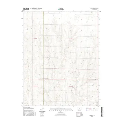
2016 Map of Fowler SE
USGS Topo · Published 2016About this map
The rolling plains along the Meade Co and Clark Co boundary are defined by an intricate network of seasonal drainages in this 2016 survey. The land is carved by the converging branches of Indian Cr, including W Indian Cr and E Indian Cr, which create a complex system of draws and ridges across the eastern half of the quadrangle. In the northern reaches, Johns Cr and Gyp Cr further illustrate the watershed's influence on the local topography.
Find a feature on this map
18 named features on this map. Tap any name to fly to it.
Don’t see what you’re looking for? This feature index may not catch every label — zoom into the map to look around manually.
Map Details
Editions of this 2016 Fowler SE Map
This is the sole edition of this map. No revisions or reprints were ever made.
Other maps of this area

1892 · Meade
USGS Topo · 1:125,000

1896 · Ashland
USGS Topo · 1:125,000

1955 · Pratt
USGS Topo · 1:250,000

1955 · Dodge City
USGS Topo · 1:250,000

1958 · Dodge City
USGS Topo · 1:250,000

1959 · Pratt
USGS Topo · 1:250,000

1959 · Dodge City
USGS Topo · 1:250,000

1967 · Bloom
USGS Topo · 1:24,000

1967 · Fowler SE
USGS Topo · 1:24,000

1967 · Fowler SW
USGS Topo · 1:24,000