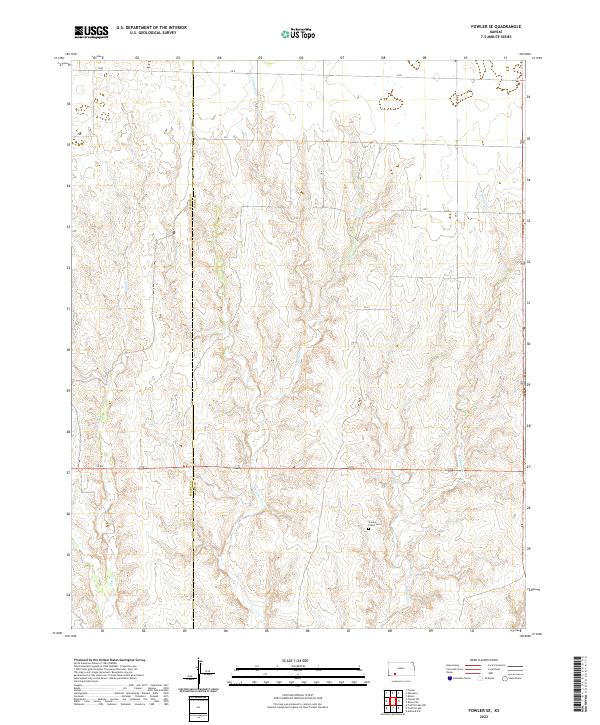
2022 Map of Fowler SE
USGS Topo · Published 2022About this map
The prairie landscape of the Meade Co Clark Co border is defined by a dendritic network of intermittent streams and a rigid grid of section-line roads. This high plains terrain is drained by several branches of the Indian Creek system, including E Indian Cr, W Indian Cr, and the primary channel of Indian Creek. To the west, the topography is carved by Gyp Cr and Johns Creek, which cut through the underlying gypsum-rich soils common to this corner of Kansas. The human footprint is sparse but deliberate, centered on agricultural infrastructure and the Golden Plains Cem. This small burial ground serves as a quiet landmark amidst the vast section blocks and gravel routes like N Rd and H Rd that connect the isolated farmsteads of the southwestern Kansas plains.
Find a feature on this map
18 named features on this map. Tap any name to fly to it.
Don’t see what you’re looking for? This feature index may not catch every label — zoom into the map to look around manually.
Map Details
Editions of this 2022 Fowler SE Map
This is the sole edition of this map. No revisions or reprints were ever made.
Other maps of this area

1892 · Meade
USGS Topo · 1:125,000

1896 · Ashland
USGS Topo · 1:125,000

1955 · Pratt
USGS Topo · 1:250,000

1955 · Dodge City
USGS Topo · 1:250,000

1958 · Dodge City
USGS Topo · 1:250,000

1959 · Pratt
USGS Topo · 1:250,000

1959 · Dodge City
USGS Topo · 1:250,000

1967 · Bloom
USGS Topo · 1:24,000

1967 · Fowler SE
USGS Topo · 1:24,000

1967 · Fowler SW
USGS Topo · 1:24,000