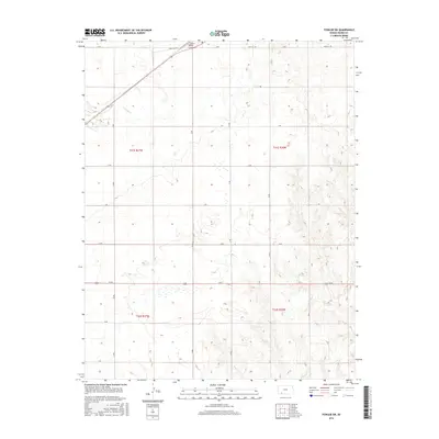
2016 Map of Fowler SW
USGS Topo · Published 2016About this map
Crooked Cr winds through this section of Meade County, defining the drainage patterns of the High Plains landscape. The map area is heavily shaped by the Public Land Survey System, as evidenced by the precise grid of section lines and gravel roads such as H Rd and Sand Hill Rd. In the northern portion, Old US Hwy 54 cuts diagonally across the terrain, passing near the Fowler Cem, a significant site for local family history and genealogy. The terrain transitions from the relatively level uplands in the west to more dissected, undulating ground in the east, particularly within the boundaries of t31s r26w and t32s r26w. This survey illustrates the agricultural infrastructure of the mid-2010s, where rural life is organized around long-established section roads like N Rd and 24 RD.
Find a feature on this map
22 named features on this map. Tap any name to fly to it.
Don’t see what you’re looking for? This feature index may not catch every label — zoom into the map to look around manually.
Map Details
Editions of this 2016 Fowler SW Map
This is the sole edition of this map. No revisions or reprints were ever made.
Other maps of this area

1892 · Meade
USGS Topo · 1:125,000

1955 · Dodge City
USGS Topo · 1:250,000

1958 · Dodge City
USGS Topo · 1:250,000

1959 · Dodge City
USGS Topo · 1:250,000

1962 · Irish Flats NE
USGS Topo · 1:24,000

1963 · Meade
USGS Topo · 1:24,000

1967 · Fowler SE
USGS Topo · 1:24,000

1967 · Fowler SW
USGS Topo · 1:24,000

1967 · Minneola
USGS Topo · 1:24,000

1969 · Meade NE
USGS Topo · 1:24,000