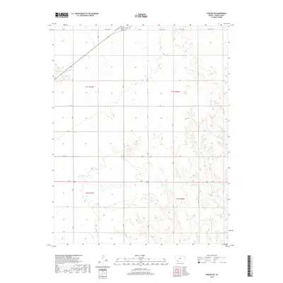
2018 Map of Fowler SW
USGS Topo · Published 2018About this map
Crooked Cr meanders through the northwest corner of this Meade County landscape, where the flat upland plains are subdivided by a rigid section-line road network. The rural character of the area is defined by these gravel and dirt connectors, including H Rd and N Rd, which serve the expansive agricultural tracts typical of western Kansas. Near the northern boundary, the Fowler Cem sits adjacent to Old US Hwy 54, marking a site of genealogical and local significance. The terrain transitions from the well-defined drainage of the creek into the rolling topography of the surrounding ranchland. This survey captures the region's late-century infrastructure, centered on the historic corridor of the Sand Hill Rd and its role in connecting the scattered farmsteads across the townships of t31s r27w and t31s r26w.
Find a feature on this map
16 named features on this map. Tap any name to fly to it.
Don’t see what you’re looking for? This feature index may not catch every label — zoom into the map to look around manually.
Map Details
Editions of this 2018 Fowler SW Map
This is the sole edition of this map. No revisions or reprints were ever made.
Other maps of this area

1892 · Meade
USGS Topo · 1:125,000

1955 · Dodge City
USGS Topo · 1:250,000

1958 · Dodge City
USGS Topo · 1:250,000

1959 · Dodge City
USGS Topo · 1:250,000

1962 · Irish Flats NE
USGS Topo · 1:24,000

1963 · Meade
USGS Topo · 1:24,000

1967 · Fowler SE
USGS Topo · 1:24,000

1967 · Fowler SW
USGS Topo · 1:24,000

1967 · Minneola
USGS Topo · 1:24,000

1969 · Meade NE
USGS Topo · 1:24,000