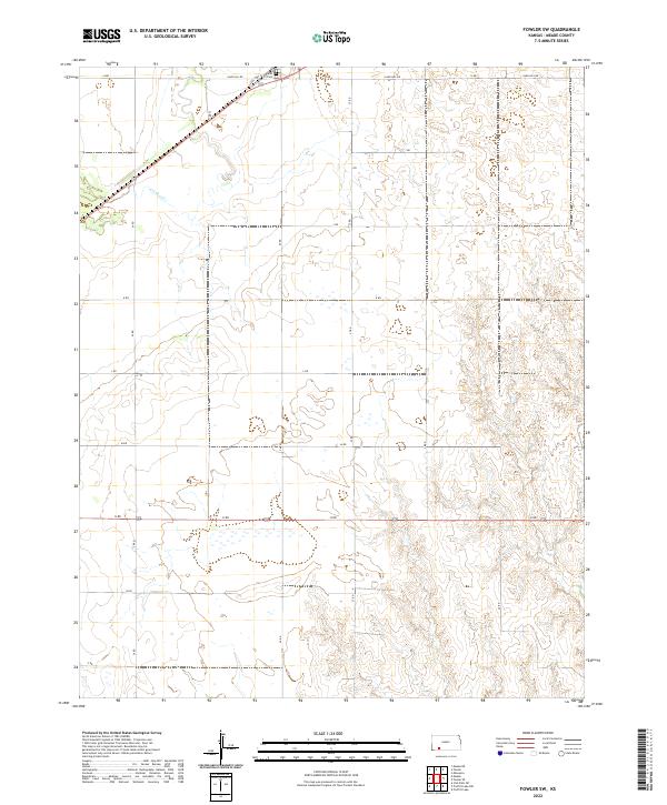
2022 Map of Fowler SW
USGS Topo · Published 2022About this map
The agrarian landscape of Meade County is defined by its rigorous section-line grid and the winding path of Crooked Cr, which provides the primary drainage through these high plains. The northern portion of the map is dominated by transportation routes, including Old US Hwy 54 and the intersecting Sand Hill Rd, which serve as the lifelines for the local farming community. This 2022 survey captures the modern rural layout, where the geometric precision of Township 31 South and Township 32 South is interrupted only by the natural contours of the creek and the occasional wetland depression.
Find a feature on this map
22 named features on this map. Tap any name to fly to it.
Don’t see what you’re looking for? This feature index may not catch every label — zoom into the map to look around manually.
Map Details
Editions of this 2022 Fowler SW Map
This is the sole edition of this map. No revisions or reprints were ever made.
Other maps of this area

1892 · Meade
USGS Topo · 1:125,000

1955 · Dodge City
USGS Topo · 1:250,000

1958 · Dodge City
USGS Topo · 1:250,000

1959 · Dodge City
USGS Topo · 1:250,000

1962 · Irish Flats NE
USGS Topo · 1:24,000

1963 · Meade
USGS Topo · 1:24,000

1967 · Fowler SE
USGS Topo · 1:24,000

1967 · Fowler SW
USGS Topo · 1:24,000

1967 · Minneola
USGS Topo · 1:24,000

1969 · Meade NE
USGS Topo · 1:24,000