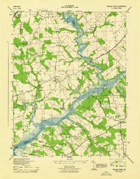
1944 Map of Fowling Creek
USGS Topo · Published 1944About this map
The confluence of Tuckahoe Creek and the Choptank River defines this 1940s landscape, serving as a vital natural boundary between Talbot and Caroline counties. This era reveals a river-oriented economy still visible through numerous landings and wharves, such as Kingston Landing, Ganey Wharf, and Todd Wharf. These points, linked by local roads like Todd Wharf Rd, illustrate the historical reliance on Maryland's Eastern Shore waterways for transport and trade before the complete dominance of modern highway systems.
Find a feature on this map
58 named features on this map. Tap any name to fly to it.
Don’t see what you’re looking for? This feature index may not catch every label — zoom into the map to look around manually.
Map Details
Editions of this 1944 Fowling Creek Map
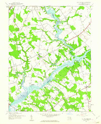
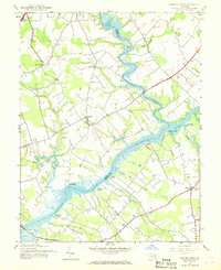
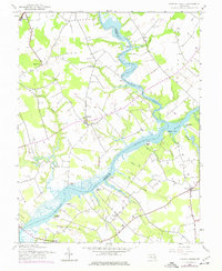
4 editions found
Other maps of this area

1898 · Choptank
USGS Topo · 1:125,000
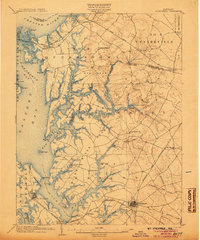
1904 · St. Michaels
USGS Topo · 1:62,500
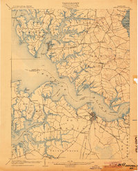
1904 · Oxford
USGS Topo · 1:62,500

1905 · Denton
USGS Topo · 1:62,500

1905 · Hurlock
USGS Topo · 1:62,500
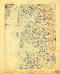
1908 · Choptank
USGS Topo · 1:125,000
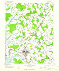
1942 · Easton
USGS Topo · 1:24,000
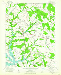
1942 · Wye Mills
USGS Topo · 1:24,000
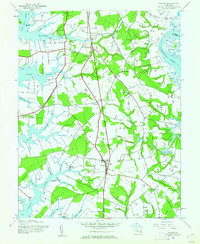
1942 · Trappe
USGS Topo · 1:24,000
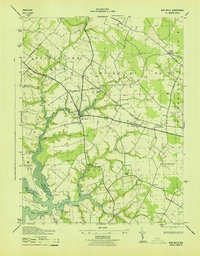
1943 · Wye Mills
USGS Topo · 1:31,680