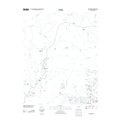
2013 Map of Fox Creek
USGS Topo · Published 2013About this map
The Obed River winds through this Cumberland County landscape, dividing the more sparsely settled northern reaches from the developing communities to the south. In the north, the small settlement of Genesis sits near the crossing of Daniel Br, while Cove Ridge and Bee Ridge define the local topography. This area is characterized by family-named landmarks and old access routes like Elmore Cemetery Rd and Henry Cemetery Rd, reflecting the deep-rooted rural history of the region.
Find a feature on this map
153 named features on this map. Tap any name to fly to it.
Don’t see what you’re looking for? This feature index may not catch every label — zoom into the map to look around manually.
Map Details
Editions of this 2013 Fox Creek Map
This is the sole edition of this map. No revisions or reprints were ever made.
Other maps of this area

1887 · Kingston
USGS Topo · 1:125,000

1891 · Kingston
USGS Topo · 1:125,000

1892 · Pikeville
USGS Topo · 1:125,000

1893 · Kingston
USGS Topo · 1:125,000

1895 · Wartburg
USGS Topo · 1:125,000

1895 · Pikeville
USGS Topo · 1:125,000

1896 · Wartburg
USGS Topo · 1:125,000

1897 · Standingstone
USGS Topo · 1:125,000

1898 · Standingstone
USGS Topo · 1:125,000

1912 · Crossville
USGS Topo · 1:62,500