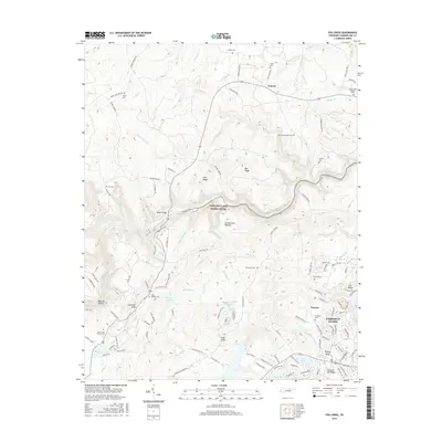
2016 Map of Fox Creek
USGS Topo · Published 2016About this map
The Cumberland Plateau landscape defines this part of Tennessee, where the winding corridor of the Obed Wild and Scenic River carves through the terrain. To the southeast, the residential development of Fairfield Glade shows a dense network of suburban-style streets and cul-de-sacs including Westminster Ct and Cantabury Dr, contrasting sharply with the rural character of northern settlements like Genesis and Peavine. Genealogists will find a significant distribution of small family and community burial grounds across the area, from Elmore Cem and Sims Cem Number Two in the north to Brookhart Cem and Peavine Cem near the southern settlements. Water features such as Good Neighbor Lake and Linger Lake punctuate the ridges, while higher elevations like Pilot Knob and Lavender Knob overlook the many creeks feeding into the Obed River.
Find a feature on this map
143 named features on this map. Tap any name to fly to it.
Don’t see what you’re looking for? This feature index may not catch every label — zoom into the map to look around manually.
Map Details
Editions of this 2016 Fox Creek Map
This is the sole edition of this map. No revisions or reprints were ever made.
Other maps of this area

1887 · Kingston
USGS Topo · 1:125,000

1891 · Kingston
USGS Topo · 1:125,000

1892 · Pikeville
USGS Topo · 1:125,000

1893 · Kingston
USGS Topo · 1:125,000

1895 · Wartburg
USGS Topo · 1:125,000

1895 · Pikeville
USGS Topo · 1:125,000

1896 · Wartburg
USGS Topo · 1:125,000

1897 · Standingstone
USGS Topo · 1:125,000

1898 · Standingstone
USGS Topo · 1:125,000

1912 · Crossville
USGS Topo · 1:62,500