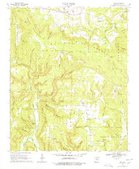
1969 Map of Fox
USGS Topo · Published 1978About this map
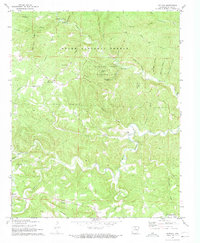
Timbo and Fox serve as the primary hubs in this late-1960s survey of the Ozark plateau in Stone County. The landscape is defined by the steep relief of Blue Mountain and numerous deep hollows like Bear Pen Hollow and Grassy Hollow. The presence of several country churches, including Our Lady of Victory Ch and Zion Ch, alongside the Rural Special Sch, indicates a dispersed but established upland community.
Find a feature on this map
67 named features on this map. Tap any name to fly to it.
Don’t see what you’re looking for? This feature index may not catch every label — zoom into the map to look around manually.
Map Details
Editions of this 1969 Fox Map
2 editions found
Other maps of this area

1892 · Mountain View
USGS Topo · 1:125,000

1894 · Mountain View
USGS Topo · 1:125,000

1956 · Russellville
USGS Topo · 1:250,000

1964 · Russellville
USGS Topo · 1:250,000

1969 · Mountain View SW
USGS Topo · 1:24,000
1969 · Fox
USGS Topo · 1:24,000
1972 · Onia
USGS Topo · 1:24,000
1972 · Landis
USGS Topo · 1:24,000
1972 · Fiftysix
USGS Topo · 1:24,000
1973 · Oxley
USGS Topo · 1:24,000