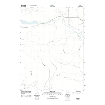
2011 Map of Francis
USGS Topo · Published 2011About this map
Francis occupies a central position in the Rhodes Valley, serving as a focal point for the surrounding agricultural and mountain landscape in this early 21st-century survey. The terrain is defined by the winding course of the Provo River, which flows toward the Jordanelle Reservoir in the northwest. Local genealogy and history are well-represented by the inclusion of three distinct burial sites: Kamas Cemetery, Upper Francis Cemetery, and Lower Francis Cemetery. The southern half of the map transitions into the canyons and hollows that rise toward the Heber Valley, with prominent geographic features such as Big Pole Canyon and Little Pole Canyon cutting through the highlands. A modern road network, including Spring Hollow RD and Lake Creek RD, provides access to these remote valleys and residential developments like Greenerhills DR.
Find a feature on this map
38 named features on this map. Tap any name to fly to it.
Don’t see what you’re looking for? This feature index may not catch every label — zoom into the map to look around manually.
Map Details
Editions of this 2011 Francis Map
This is the sole edition of this map. No revisions or reprints were ever made.
Other maps of this area

1885 · Salt Lake
USGS Topo · 1:250,000

1900 · Coalville
USGS Topo · 1:125,000

1903 · Coalville
USGS Topo · 1:125,000

1907 · Strawberry Valley
USGS Topo · 1:125,000

1909 · Strawberry Valley
USGS Topo · 1:125,000

1954 · Salt Lake City
USGS Topo · 1:250,000

1955 · Heber
USGS Topo · 1:24,000

1955 · Park City East
USGS Topo · 1:24,000

1958 · Salt Lake City
USGS Topo · 1:250,000

1960 · Salt Lake City
USGS Topo · 1:250,000