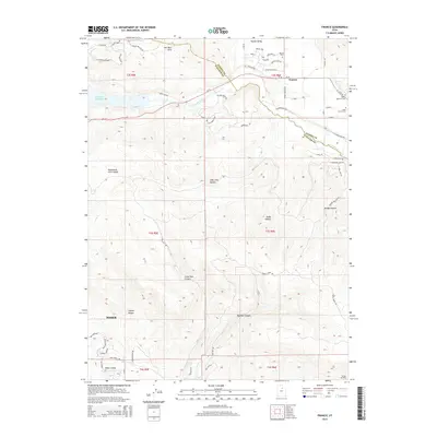
2014 Map of Francis
USGS Topo · Published 2014About this map
Francis occupies a central position in this 2014 survey, situated where the Kamas Valley meets the northern reaches of the Heber Valley. The landscape is defined by the significant hydrological presence of the Provo River and the eastern edge of the Jordanelle Reservoir, which together anchor the region's geography. Settlement patterns are concentrated along highway corridors like Ut-32 and Ut-35, while the surrounding terrain is marked by numerous named draws and canyons, including Big Pole Canyon, Little Pole Canyon, and Lady Long Hollow. For those researching local lineages, several burial sites are clearly identified, including the Upper Francis Cem, Lower Francis Cem, and Kamas Cem. The map provides a contemporary look at the interface between residential expansion, such as Victory Ranch Dr, and the traditional agricultural and mountain terrain of Summit and Wasatch Counties.
Find a feature on this map
64 named features on this map. Tap any name to fly to it.
Don’t see what you’re looking for? This feature index may not catch every label — zoom into the map to look around manually.
Map Details
Editions of this 2014 Francis Map
This is the sole edition of this map. No revisions or reprints were ever made.
Other maps of this area

1885 · Salt Lake
USGS Topo · 1:250,000

1900 · Coalville
USGS Topo · 1:125,000

1903 · Coalville
USGS Topo · 1:125,000

1907 · Strawberry Valley
USGS Topo · 1:125,000

1909 · Strawberry Valley
USGS Topo · 1:125,000

1954 · Salt Lake City
USGS Topo · 1:250,000

1955 · Heber
USGS Topo · 1:24,000

1955 · Park City East
USGS Topo · 1:24,000

1958 · Salt Lake City
USGS Topo · 1:250,000

1960 · Salt Lake City
USGS Topo · 1:250,000