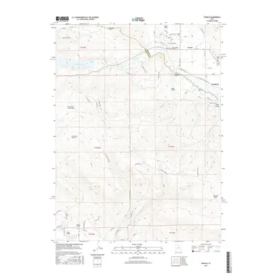
2017 Map of Francis
USGS Topo · Published 2017About this map
Francis and Woodland occupy the high valley floors of the Wasatch Range in this 2017 survey, a landscape where residential development meets the transition into the Uinta National Forest. The northeast corner is anchored by several historic burial sites, including Kamas Cem, the Upper Francis Cem, and the Lower Francis Cem, reflecting the deep-rooted settlement of this agricultural and mountain community. To the west, the reach of the Jordanelle Reservoir cuts into the canyonlands, while the Provo River winds through the eastern meadows near Woodland.
Find a feature on this map
69 named features on this map. Tap any name to fly to it.
Don’t see what you’re looking for? This feature index may not catch every label — zoom into the map to look around manually.
Map Details
Editions of this 2017 Francis Map
This is the sole edition of this map. No revisions or reprints were ever made.
Other maps of this area

1885 · Salt Lake
USGS Topo · 1:250,000

1900 · Coalville
USGS Topo · 1:125,000

1903 · Coalville
USGS Topo · 1:125,000

1907 · Strawberry Valley
USGS Topo · 1:125,000

1909 · Strawberry Valley
USGS Topo · 1:125,000

1954 · Salt Lake City
USGS Topo · 1:250,000

1955 · Heber
USGS Topo · 1:24,000

1955 · Park City East
USGS Topo · 1:24,000

1958 · Salt Lake City
USGS Topo · 1:250,000

1960 · Salt Lake City
USGS Topo · 1:250,000