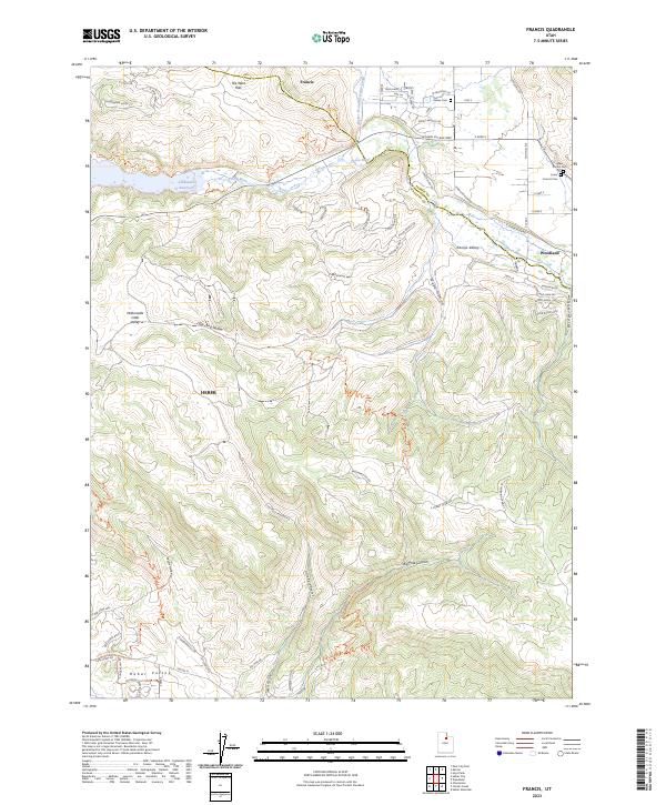
2023 Map of Francis
USGS Topo · Published 2023About this map
Kamas Valley and the high country of the Summit and Wasatch county line are defined by the vital water systems of the Provo River and Jordanelle Reservoir. This modern mapping shows the intensive residential development expanding from Francis and Woodland, with numerous new cul-de-sacs and named roads like Victory Ranch Dr and Spring Hollow Rd encroaching upon the historic agricultural landscape. Local heritage is preserved at the Kamas Cem, Upper Francis Cem, and Lower Francis Cem, which serve as quiet markers of the area's early settlement. The intricate network of irrigation and water management is visible through the Weber Provo Diversion Canal, while the southern portion of the map transitions into the steep terrain of Big Pole Canyon and Little Pole Canyon, offering a detailed view of the modern interface between suburban growth and the northern edge of the Heber Valley.
Find a feature on this map
71 named features on this map. Tap any name to fly to it.
Don’t see what you’re looking for? This feature index may not catch every label — zoom into the map to look around manually.
Map Details
Editions of this 2023 Francis Map
This is the sole edition of this map. No revisions or reprints were ever made.
Other maps of this area

1885 · Salt Lake
USGS Topo · 1:250,000

1900 · Coalville
USGS Topo · 1:125,000

1903 · Coalville
USGS Topo · 1:125,000

1907 · Strawberry Valley
USGS Topo · 1:125,000

1909 · Strawberry Valley
USGS Topo · 1:125,000

1954 · Salt Lake City
USGS Topo · 1:250,000

1955 · Heber
USGS Topo · 1:24,000

1955 · Park City East
USGS Topo · 1:24,000

1958 · Salt Lake City
USGS Topo · 1:250,000

1960 · Salt Lake City
USGS Topo · 1:250,000