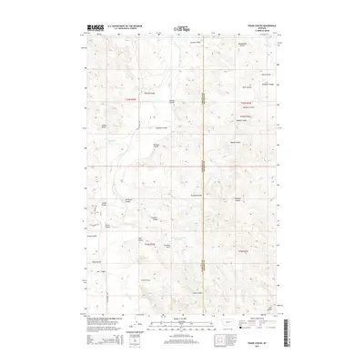
2014 Map of Frank Coulee
USGS Topo · Published 2014About this map
Cedar Bed Ground Reservoir and the drainage network of Big Dry Cr define this landscape along the border of Garfield and McCone counties. This 2014 survey captures a sparsely populated region of eastern Montana dominated by an intricate system of coulees, including the namesake Frank Coulee, Fortyfour Coulee, and Nicks Coulee. The terrain is marked by distinctive geological formations such as Indian Rocks and Standing Rock, which likely served as local landmarks for generations. The road network is limited to rural routes like Van Norman Rd and Burgess Rd, reflecting the remote, ranch-focused character of the area. Water sources like Flat Cr, Woody Cr, and Timber Cr cut through the high plains, illustrating the topographical challenges of this part of the Missouri River watershed.
Find a feature on this map
31 named features on this map. Tap any name to fly to it.
Don’t see what you’re looking for? This feature index may not catch every label — zoom into the map to look around manually.
Map Details
Editions of this 2014 Frank Coulee Map
This is the sole edition of this map. No revisions or reprints were ever made.
Other maps of this area

1954 · Jordan
USGS Topo · 1:250,000

1956 · Jordan
USGS Topo · 1:250,000

1958 · Jordan
USGS Topo · 1:250,000

1964 · Jordan
USGS Topo · 1:250,000

1967 · Hagen Gap
USGS Topo · 1:24,000
1967 · Maxwell Coulee
USGS Topo · 1:24,000

1967 · Coal Creek
USGS Topo · 1:24,000

1967 · Frank Coulee
USGS Topo · 1:24,000

1972 · Short Creek
USGS Topo · 1:24,000

1972 · Flat Creek School
USGS Topo · 1:24,000