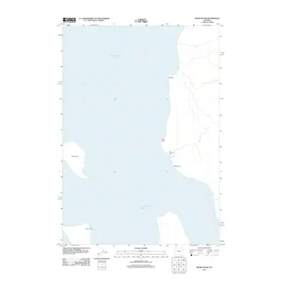
2012 Map of Frank Island
USGS Topo · Published 2012About this map
Yellowstone Lake dominates this wilderness landscape, where the cold waters of the eastern shore meet the high backcountry of Park County. This particular stretch of the shoreline is marked by prominent landforms such as Elk Point and Signal Point, which have long served as navigational markers for those traversing the lake. The interior reveals a series of drainages, including Cub Cr and Meadow Cr, that feed the massive lake system from the surrounding mountains.
Find a feature on this map
10 named features on this map. Tap any name to fly to it.
Don’t see what you’re looking for? This feature index may not catch every label — zoom into the map to look around manually.
Map Details
Editions of this 2012 Frank Island Map
This is the sole edition of this map. No revisions or reprints were ever made.
Other maps of this area

1885 · Lake
USGS Topo · 1:125,000

1886 · Canyon
USGS Topo · 1:125,000

1895 · Canyon
USGS Topo · 1:125,000

1895 · Lake
USGS Topo · 1:125,000

1896 · Lake
USGS Topo · 1:125,000

1896 · Canyon
USGS Topo · 1:125,000

1901 · Canyon
USGS Topo · 1:125,000

1901 · Lake
USGS Topo · 1:125,000

1906 · Lake
USGS Topo · 1:125,000

1907 · Canyon
USGS Topo · 1:125,000