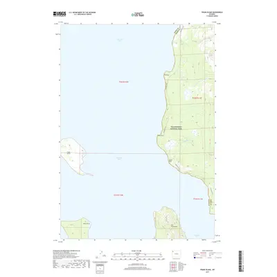
2017 Map of Frank Island
USGS Topo · Published 2017About this map
Yellowstone National Park dominates this remote shoreline terrain, where the eastern edge of Yellowstone Lake meets the Absaroka foothills. The landscape is defined by the deep indentation of the Southeast Arm and the massive landform of The Promontory, which juts into the water to create a complex series of coves and points. These include Signal Point, Park Point, and Elk Point, providing natural landmarks along the lakeshore that have guided travelers for generations.
Find a feature on this map
18 named features on this map. Tap any name to fly to it.
Don’t see what you’re looking for? This feature index may not catch every label — zoom into the map to look around manually.
Map Details
Editions of this 2017 Frank Island Map
This is the sole edition of this map. No revisions or reprints were ever made.
Other maps of this area

1885 · Lake
USGS Topo · 1:125,000

1886 · Canyon
USGS Topo · 1:125,000

1895 · Canyon
USGS Topo · 1:125,000

1895 · Lake
USGS Topo · 1:125,000

1896 · Lake
USGS Topo · 1:125,000

1896 · Canyon
USGS Topo · 1:125,000

1901 · Canyon
USGS Topo · 1:125,000

1901 · Lake
USGS Topo · 1:125,000

1906 · Lake
USGS Topo · 1:125,000

1907 · Canyon
USGS Topo · 1:125,000