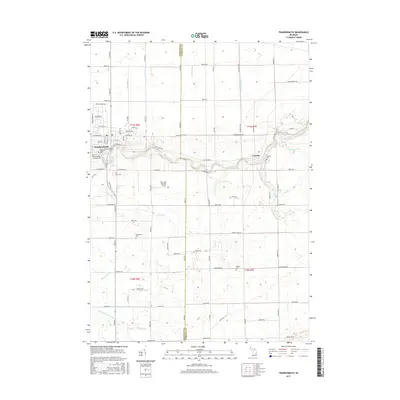
2017 Map of Frankenmuth
USGS Topo · Published 2017About this map
The city of Frankenmuth serves as the focal point of this Michigan landscape, situated along the winding banks of the Cass River. The 2017 survey details a region defined by its German heritage and agricultural roots, visible in landmarks such as the Saint John's Evangelical Lutheran church and the Wm 'Tiny' Zehnder Field. Beyond the city limits, the landscape transitions into a grid of rural roads and drainage systems, including the Ortner Drain and Jordon Drain, essential for managing the low-lying terrain of the Saginaw Valley.
Find a feature on this map
91 named features on this map. Tap any name to fly to it.
Don’t see what you’re looking for? This feature index may not catch every label — zoom into the map to look around manually.
Map Details
Editions of this 2017 Frankenmuth Map
This is the sole edition of this map. No revisions or reprints were ever made.
Other maps of this area

1919 · Saginaw
USGS Topo · 1:62,500

1919 · Burt
USGS Topo · 1:62,500

1920 · Flint
USGS Topo · 1:62,500

1921 · Burt
USGS Topo · 1:62,500

1922 · Flint
USGS Topo · 1:62,500

1941 · Saginaw
USGS Topo · 1:62,500

1943 · Burt
USGS Topo · 1:62,500

1943 · Saginaw
USGS Topo · 1:62,500

1943 · Flint
USGS Topo · 1:62,500

1954 · Flint
USGS Topo · 1:250,000
Featured Places
- Frankenmuth, City of Frankenmuth
- City of Frankenmuth, MI
- Tuscola, MI
- Tuscola Township, MI
- Birch Run Township, MI