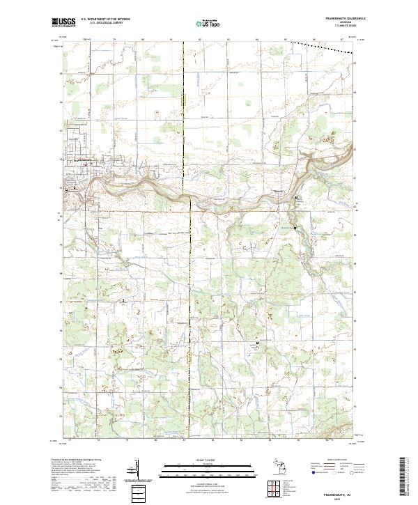
2023 Map of Frankenmuth
USGS Topo · Published 2023About this map
Frankenmuth and the nearby village of Tuscola are the primary settlements of this eastern Michigan landscape, which is deeply defined by the winding course of the Cass River. The area serves as a significant drainage basin for agricultural lands, evidenced by a dense network of named man-made and natural waterways including the Cheboyganing Creek, Perry Creek, and the Barrett Drain. This 2023 survey illustrates how modern development and local heritage coexist, with 'Tiny' Zehnder Field and Covered Bridge Ln marking the cultural identity of the region.
Find a feature on this map
101 named features on this map. Tap any name to fly to it.
Don’t see what you’re looking for? This feature index may not catch every label — zoom into the map to look around manually.
Map Details
Editions of this 2023 Frankenmuth Map
This is the sole edition of this map. No revisions or reprints were ever made.
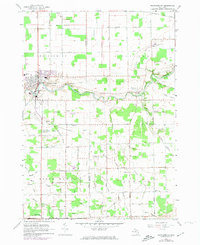
Historical Maps of Tuscola Through Time
Featured Locations
- Tuscola Township, MI
- City of Frankenmuth, MI
- Frankenmuth Township, MI
- Frankenmuth, City of Frankenmuth
- Tuscola, Tuscola Township