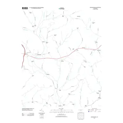
2013 Map of Frankewing
USGS Topo · Published 2013About this map
Frankewing and Taylortown serve as focal points in this Lincoln County landscape, where the drainage of Bradshaw Cr and its various forks define the topography. The settlement pattern follows the winding hollows and ridges characteristic of Middle Tennessee, with clusters of activity at McBurg and Woodrow. A dense network of rural routes, such as Tight Bark Rd and Young Hollow Rd, connects scattered homesites and family-named landmarks like Ballentine Bluff and Cathcart Hill.
Find a feature on this map
103 named features on this map. Tap any name to fly to it.
Don’t see what you’re looking for? This feature index may not catch every label — zoom into the map to look around manually.
Map Details
Editions of this 2013 Frankewing Map
This is the sole edition of this map. No revisions or reprints were ever made.
Other maps of this area

1936 · Cornersville
USGS Topo · 1:24,000

1936 · Taft
USGS Topo · 1:24,000

1936 · Boonshill
USGS Topo · 1:24,000

1936 · Brick Church
USGS Topo · 1:24,000

1936 · Petersburg
USGS Topo · 1:24,000

1936 · Tarpley
USGS Topo · 1:24,000

1936 · Elkton
USGS Topo · 1:24,000

1936 · Frankewing
USGS Topo · 1:24,000

1936 · Dellrose
USGS Topo · 1:24,000

1944 · Shelbyville
USGS Topo · 1:100,000