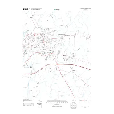
2013 Map of Frankfort East
USGS Topo · Published 2013About this map
Buffalo Trace Distillery and Old Crow Distillery anchor the industrial heritage of this landscape, reflecting a long history of bourbon production along the Kentucky River and its tributaries. The terrain is defined by dramatic water features, including the winding course of the river at Saffells Bend and the convergence of waterways at Forks of Elkhorn. Distinctive geographical landmarks like The Backbone and Trumbo Bottom contrast with the expanding residential clusters of Indian Hills and Bon Air Hills.
Find a feature on this map
221 named features on this map. Tap any name to fly to it.
Don’t see what you’re looking for? This feature index may not catch every label — zoom into the map to look around manually.
Map Details
Editions of this 2013 Frankfort East Map
This is the sole edition of this map. No revisions or reprints were ever made.
Other maps of this area

1906 · Lockport
USGS Topo · 1:48,000

1906 · Georgetown
USGS Topo · 1:62,500

1908 · Lockport
USGS Topo · 1:62,500

1908 · Georgetown
USGS Topo · 1:62,500

1922 · Frankfort
USGS Topo · 1:48,000

1924 · Frankfort
USGS Topo · 1:62,500

1939 · Sadieville
USGS Topo · 1:62,500

1951 · Lawrenceburg
USGS Topo · 1:24,000

1952 · Midway
USGS Topo · 1:24,000
1953 · Frankfort West
USGS Topo · 1:24,000