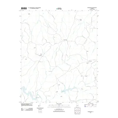
2011 Map of Frankfort
USGS Topo · Published 2011About this map
The community of Frankfort anchors this 2011 survey, situated at a crossroad in northwestern Alabama where local geography is defined by a dense network of creeks and family-named cemeteries. To the south, the Russellville Reservoir is a prominent hydrological feature, fed by the waters of Duncan Creek and controlled by the Elliott Lake Dam. The landscape is a complex drainage basin for numerous streams including Tollison Creek, Cane Creek, and Smith Creek, which carve through the terrain north toward Long Hollow.
Find a feature on this map
76 named features on this map. Tap any name to fly to it.
Don’t see what you’re looking for? This feature index may not catch every label — zoom into the map to look around manually.
Map Details
Editions of this 2011 Frankfort Map
This is the sole edition of this map. No revisions or reprints were ever made.
Other maps of this area

1924 · Tuscumbia
USGS Topo · 1:48,000

1925 · Barton
USGS Topo · 1:62,500

1926 · Tuscumbia
USGS Topo · 1:62,500

1926 · Barton
USGS Topo · 1:48,000

1929 · Barton
USGS Topo · 1:62,500

1936 · Russellville
USGS Topo · 1:24,000

1936 · Frankfort
USGS Topo · 1:24,000

1936 · Pleasant Grove
USGS Topo · 1:24,000

1936 · Isbell
USGS Topo · 1:24,000

1936 · Pride
USGS Topo · 1:24,000