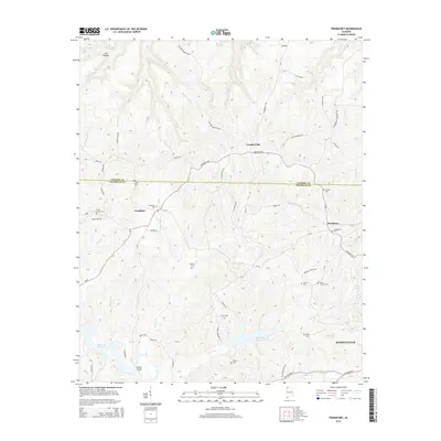
2014 Map of Frankfort
USGS Topo · Published 2014About this map
The boundary between Colbert Co and Franklin Co cuts through the center of this landscape, dominated by the ridge-and-valley terrain of Wagnon Mountain. Historically significant for its high density of family and community burial grounds, the area includes sites like Shady Grove Cem and the evocatively named Burnt Church Cem. The small settlements of Frankfort and Jonesboro serve as local hubs, connected by a network of winding roads such as Frankfort Rd and Waterloo Rd. Water management is a defining modern feature of the topography, with both the Russellville Reservoir and the Cedar Cr Reservoir appearing in the southern half of the map. These reservoirs, alongside numerous smaller tributaries like Jackson Miller Cr and Cane Cr, illustrate the transition of the local environment from purely creek-fed valleys to a managed watershed supporting the growth of nearby Russellville.
Find a feature on this map
74 named features on this map. Tap any name to fly to it.
Don’t see what you’re looking for? This feature index may not catch every label — zoom into the map to look around manually.
Map Details
Editions of this 2014 Frankfort Map
This is the sole edition of this map. No revisions or reprints were ever made.
Other maps of this area

1924 · Tuscumbia
USGS Topo · 1:48,000

1925 · Barton
USGS Topo · 1:62,500

1926 · Tuscumbia
USGS Topo · 1:62,500

1926 · Barton
USGS Topo · 1:48,000

1929 · Barton
USGS Topo · 1:62,500

1936 · Russellville
USGS Topo · 1:24,000

1936 · Frankfort
USGS Topo · 1:24,000

1936 · Pleasant Grove
USGS Topo · 1:24,000

1936 · Isbell
USGS Topo · 1:24,000

1936 · Pride
USGS Topo · 1:24,000