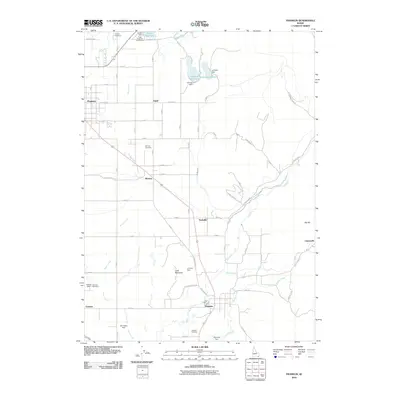
2010 Map of Franklin
USGS Topo · Published 2010About this map
Preston and Franklin anchor this 2010 landscape of southern Idaho, where a network of irrigation and water management defines the agricultural character of the valley. The map reveals an intricate system of canals and ditches, including Middle Ditch, Cub Canal, and East Canal, which draw from the Cub River and its tributaries like Maple Creek. This water infrastructure supports several small settlements and community hubs such as Whitney, Nashville, and Egypt. Highlighting the area's rural history, several family-named landmarks and water-control features are present, including Le Fevre Dam, Van Orden Dam, and Morrison Dam.
Find a feature on this map
56 named features on this map. Tap any name to fly to it.
Don’t see what you’re looking for? This feature index may not catch every label — zoom into the map to look around manually.
Map Details
Editions of this 2010 Franklin Map
This is the sole edition of this map. No revisions or reprints were ever made.
Other maps of this area

1914 · Logan
USGS Topo · 1:125,000

1915 · Preston
USGS Topo · 1:96,000

1916 · Logan
USGS Topo · 1:125,000

1918 · Preston
USGS Topo · 1:125,000

1954 · Ogden
USGS Topo · 1:250,000

1955 · Preston
USGS Topo · 1:250,000

1958 · Ogden
USGS Topo · 1:250,000

1958 · Preston
USGS Topo · 1:250,000

1960 · Ogden
USGS Topo · 1:250,000

1962 · Preston
USGS Topo · 1:250,000