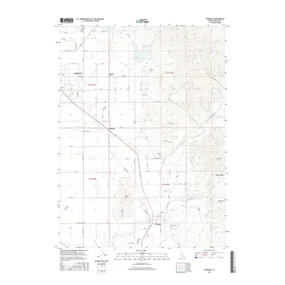
2017 Map of Franklin
USGS Topo · Published 2017About this map
The Cub River valley in Franklin County anchors this detailed look at Idaho's southeastern corner, where the high-elevation landscape is defined by an intricate network of irrigation and water management. Modern agricultural life is evident in the extensive canal systems, including the Cub Canal, Upper Canal, and Lower Canal, which draw from reservoirs such as Foster Reservoir and Lamont Reservoir to sustain the farms surrounding Preston and the community of Whitney. This 2017 survey details a landscape where the grid of county roads, such as Sugar Factory Rd, intersects with the legacy of the Union Pacific railroad.
Find a feature on this map
94 named features on this map. Tap any name to fly to it.
Don’t see what you’re looking for? This feature index may not catch every label — zoom into the map to look around manually.
Map Details
Editions of this 2017 Franklin Map
This is the sole edition of this map. No revisions or reprints were ever made.
Other maps of this area

1914 · Logan
USGS Topo · 1:125,000

1915 · Preston
USGS Topo · 1:96,000

1916 · Logan
USGS Topo · 1:125,000

1918 · Preston
USGS Topo · 1:125,000

1954 · Ogden
USGS Topo · 1:250,000

1955 · Preston
USGS Topo · 1:250,000

1958 · Ogden
USGS Topo · 1:250,000

1958 · Preston
USGS Topo · 1:250,000

1960 · Ogden
USGS Topo · 1:250,000

1962 · Preston
USGS Topo · 1:250,000