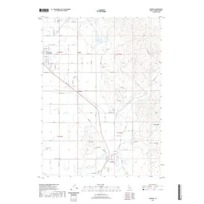
2020 Map of Franklin
USGS Topo · Published 2020About this map
Preston and the surrounding agricultural valleys of Franklin County are defined by a complex network of irrigation and water management, as seen in the paths of Upper Canal, Lower Canal, and Cub Canal. This 2020 layout shows the modern development of these historic settlements, where the grid of Preston gives way to the smaller communities of Whitney, Franklin, and the rural area of Egypt. Local history and genealogy are anchored by several distinct burial sites including Preston Cem, Whitney Cem, Franklin Cem, and Fairview Cem. The landscape transitions from the flatlands around Worm Creek to the more prominent terrain of Little Mountain and Big Hill in the east. This detailed map captures the intersection of industrial agricultural legacies, represented by Sugar Factory Road, and the natural drainage systems of the Cub River and Maple Creek.
Find a feature on this map
105 named features on this map. Tap any name to fly to it.
Don’t see what you’re looking for? This feature index may not catch every label — zoom into the map to look around manually.
Map Details
Editions of this 2020 Franklin Map
This is the sole edition of this map. No revisions or reprints were ever made.
Other maps of this area

1914 · Logan
USGS Topo · 1:125,000

1915 · Preston
USGS Topo · 1:96,000

1916 · Logan
USGS Topo · 1:125,000

1918 · Preston
USGS Topo · 1:125,000

1954 · Ogden
USGS Topo · 1:250,000

1955 · Preston
USGS Topo · 1:250,000

1958 · Ogden
USGS Topo · 1:250,000

1958 · Preston
USGS Topo · 1:250,000

1960 · Ogden
USGS Topo · 1:250,000

1962 · Preston
USGS Topo · 1:250,000