2024 Map of Franklin Grove
USGS Topo · Published 2024About this map
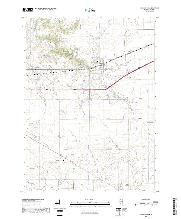
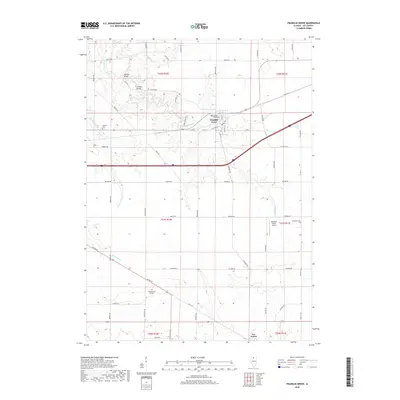
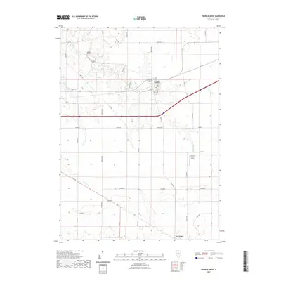
Franklin Grove sits at the heart of this Lee County landscape, defined by a grid of rural roads and the winding path of Franklin Creek. The village layout is detailed with street names like N Elm St and W Lahman St, while the surrounding township is marked by several local burial grounds including Franklin Grove Cem and the more remote Bradford Cem to the southeast. To the south, the smaller settlement of Lee Center marks the lower reaches of the map near Inlet Rd. The terrain is shaped by several watercourses, including Chamberlain Creek and Threemile Branch, which intersect a rural economy signaled by Gittleson Farms Airport and historic thoroughfares such as Old Mill Rd and Iron Spring Rd.
Find a feature on this map
48 named features on this map. Tap any name to fly to it.
Don’t see what you’re looking for? This feature index may not catch every label — zoom into the map to look around manually.
Map Details
Editions of this 2024 Franklin Grove Map
This is the sole edition of this map. No revisions or reprints were ever made.
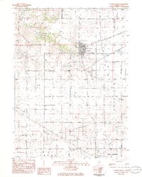
Historical Maps of Franklin Grove Through Time
6 maps found
Featured Locations
- Amboy Township, IL
- Bradford Township, IL
- Franklin Grove Township, IL
- Lee Center Township, IL
- Franklin Grove, Franklin Grove Township