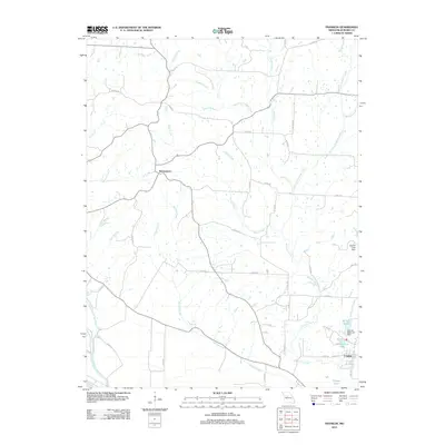
2012 Map of Franklin
USGS Topo · Published 2012About this map
Franklin and the surrounding river bottomlands are the focal point of this 2012 survey in Howard and Saline counties. The settlement pattern here is deeply influenced by the Missouri River at the southern edge of the quadrangle, where the Old Channel Salt Creek indicates how the waterway has migrated over time. Further north, the village of Boonesboro serves as a central hub for a network of rural roads that cross numerous drainages like Bartlett Creek and Richland Creek.
Find a feature on this map
47 named features on this map. Tap any name to fly to it.
Don’t see what you’re looking for? This feature index may not catch every label — zoom into the map to look around manually.
Map Details
Editions of this 2012 Franklin Map
This is the sole edition of this map. No revisions or reprints were ever made.
Other maps of this area

1888 · Boonville
USGS Topo · 1:125,000

1890 · Glasgow
USGS Topo · 1:125,000

1947 · Glasgow
USGS Topo · 1:62,500

1947 · Jefferson City
USGS Topo · 1:250,000

1952 · Boonville
USGS Topo · 1:24,000

1952 · New Franklin
USGS Topo · 1:24,000

1953 · Moberly
USGS Topo · 1:250,000

1953 · Fayette
USGS Topo · 1:24,000

1953 · Billingsville
USGS Topo · 1:24,000

1953 · Pilot Grove North
USGS Topo · 1:24,000