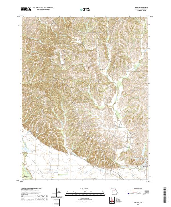
2021 Map of Franklin
USGS Topo · Published 2021About this map
Boonesboro and the riverfront settlements of Howard County define this landscape along the winding drainage of the Missouri River valley. The terrain is marked by a complex network of waterways, including Richland Cr and the various forks of Sulphur Cr, which carve through the loess hills of central Missouri. To the south, the community of New Franklin sits just north of Franklin, near where the Katy Trl traces the path of former rail commerce.
Find a feature on this map
50 named features on this map. Tap any name to fly to it.
Don’t see what you’re looking for? This feature index may not catch every label — zoom into the map to look around manually.
Map Details
Editions of this 2021 Franklin Map
This is the sole edition of this map. No revisions or reprints were ever made.
Other maps of this area

1888 · Boonville
USGS Topo · 1:125,000

1890 · Glasgow
USGS Topo · 1:125,000

1947 · Glasgow
USGS Topo · 1:62,500

1947 · Jefferson City
USGS Topo · 1:250,000

1952 · Boonville
USGS Topo · 1:24,000

1952 · New Franklin
USGS Topo · 1:24,000

1953 · Moberly
USGS Topo · 1:250,000

1953 · Fayette
USGS Topo · 1:24,000

1953 · Billingsville
USGS Topo · 1:24,000

1953 · Pilot Grove North
USGS Topo · 1:24,000