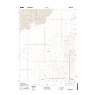
2015 Map of Franklin Lake SE
USGS Topo · Published 2015About this map
Ruby Valley dominates the northern expanse of this 2015 U.S. Geological Survey topographic map, where the high desert terrain of Elko County gives way to a network of seasonal drainage and remote transit corridors. The landscape is defined by its arid geography, with Ruby Wash and Cabin Run cutting across the alluvial fans and basin floor. Transportation in this section of the Great Basin relies on primitive routes, most notably Medicine Spring Rd and Ruby Wash Rd, which follow the natural contours of the valley. These roads reflect the sparse infrastructure of the region, typically utilized for ranching, recreation, and land management. The township and range divisions, including t29n r59e and t28n r59e, provide the primary spatial framework for a territory largely devoid of permanent settlements.
Find a feature on this map
11 named features on this map. Tap any name to fly to it.
Don’t see what you’re looking for? This feature index may not catch every label — zoom into the map to look around manually.
Map Details
Editions of this 2015 Franklin Lake SE Map
This is the sole edition of this map. No revisions or reprints were ever made.
Other maps of this area

1955 · Elko
USGS Topo · 1:250,000

1958 · Elko
USGS Topo · 1:250,000

1962 · Elko
USGS Topo · 1:250,000

1965 · Elko
USGS Topo · 1:250,000

1968 · Franklin Lake SE
USGS Topo · 1:24,000

1968 · Franklin Lake SW
USGS Topo · 1:24,000

1968 · Franklin Lake NE
USGS Topo · 1:24,000
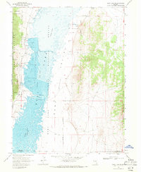
1968 · Ruby Lake NW
USGS Topo · 1:24,000

1968 · Ruby Lake NE
USGS Topo · 1:24,000
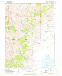
1969 · Franklin Lake NW
USGS Topo · 1:24,000