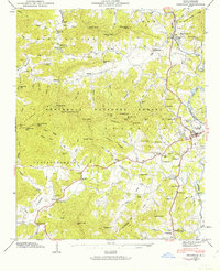
1946 Map of Franklin
USGS Topo · Published 1946About this map
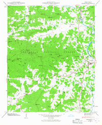
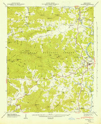
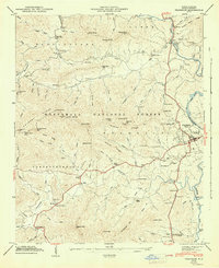
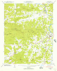
The Little Tennessee River and Lake Emory anchor this mid-century portrait of Franklin, where the river valley meets the rising slopes of the Nantahala National Forest. The map documents a landscape of small agricultural settlements and mountain hollows, connected by routes like Route 19 and Route 64. Significant local institutions are noted throughout the area, from the State Prison Camp north of town to the County Home further south.
Find a feature on this map
113 named features on this map. Tap any name to fly to it.
Don’t see what you’re looking for? This feature index may not catch every label — zoom into the map to look around manually.
Map Details
Editions of this 1946 Franklin Map
8 editions found
Other maps of this area

1891 · Cowee
USGS Topo · 1:125,000

1897 · Cowee
USGS Topo · 1:125,000

1907 · Cowee
USGS Topo · 1:125,000

1933 · Bryson
USGS Topo · 1:62,500

1933 · Bushnell
USGS Topo · 1:62,500

1935 · Franklin
USGS Topo · 1:24,000

1935 · Rainbow Springs
USGS Topo · 1:24,000

1935 · Prentiss
USGS Topo · 1:24,000

1935 · Burningtown Bald
USGS Topo · 1:24,000

1935 · Wayah Bald
USGS Topo · 1:48,000