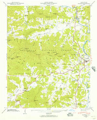
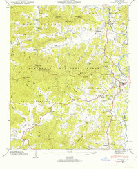
1946 Map of Franklin
USGS Topo · Published 1957About this map
Lake Emory and the Little Tennessee River dominate the eastern landscape of this 1946 study, where the town of Franklin serves as a hub for the surrounding mountain coves. The terrain is defined by the steep rises of Trimont Ridge and the Nantahala National Forest, which separate isolated valley settlements like Burningtown and Iotla. Local life in the post-war era is mapped through numerous small community centers, including Slagle Memorial Church, Louisa Chapel, and the Franklin School.
Find a feature on this map
107 named features on this map. Tap any name to fly to it.
Don’t see what you’re looking for? This feature index may not catch every label — zoom into the map to look around manually.
Map Details
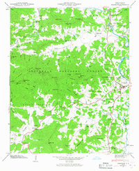
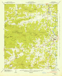
Editions of this 1946 Franklin Map
8 editions found
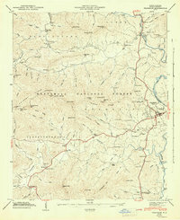
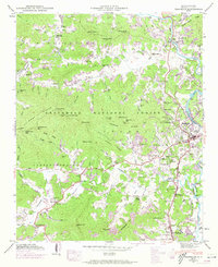
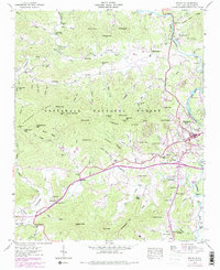
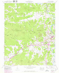
Other maps of this area

1891 · Cowee
USGS Topo · 1:125,000

1897 · Cowee
USGS Topo · 1:125,000

1907 · Cowee
USGS Topo · 1:125,000

1933 · Bryson
USGS Topo · 1:62,500

1933 · Bushnell
USGS Topo · 1:62,500

1935 · Franklin
USGS Topo · 1:24,000

1935 · Rainbow Springs
USGS Topo · 1:24,000

1935 · Prentiss
USGS Topo · 1:24,000

1935 · Burningtown Bald
USGS Topo · 1:24,000

1935 · Wayah Bald
USGS Topo · 1:48,000