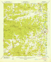
1946 Map of Franklin
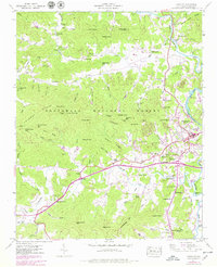
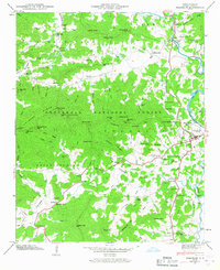
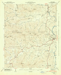
USGS Topo · Published 1978About this map
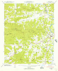
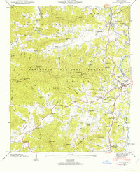
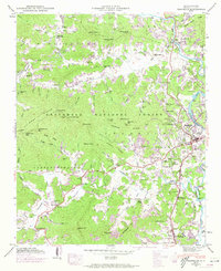
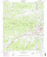
The Little Tennessee River winds through this mountain landscape, carving a fertile valley where the town of Franklin sits at the confluence with Cartoogechaye Creek. This mid-century view captures a community transition as modern amenities like the Franklin Golf and Country Club and a Drive-in theater appear alongside the traditional rural landmarks of Nantahala National Forest. The map documents a deep-rooted social infrastructure, from the County Home and State Prison Camp to numerous community centers such as St Cyprian Ch and Louisa Chapel. Industrial history remains visible in the siting of Deans Mill and Malonee Mill, while the path of a Dismantled railroad tracks the valley's changing transportation priorities. Settlement clusters like Burningtown and Blossomtown are grounded by family-named landscape features, including Roper Knob and Buzzard Roost Ridge.
Find a feature on this map
108 named features on this map. Tap any name to fly to it.
Don’t see what you’re looking for? This feature index may not catch every label — zoom into the map to look around manually.
Map Details
Editions of this 1946 Franklin Map
8 editions found
Other maps of this area

1891 · Cowee
USGS Topo · 1:125,000

1897 · Cowee
USGS Topo · 1:125,000

1907 · Cowee
USGS Topo · 1:125,000

1933 · Bryson
USGS Topo · 1:62,500

1933 · Bushnell
USGS Topo · 1:62,500

1935 · Franklin
USGS Topo · 1:24,000

1935 · Rainbow Springs
USGS Topo · 1:24,000

1935 · Prentiss
USGS Topo · 1:24,000

1935 · Burningtown Bald
USGS Topo · 1:24,000

1935 · Wayah Bald
USGS Topo · 1:48,000