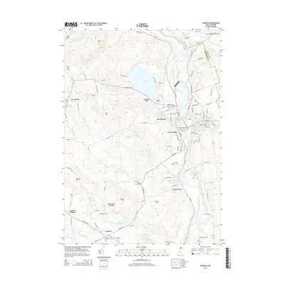
2015 Map of Franklin
USGS Topo · Published 2015About this map
Franklin and West Franklin occupy the heart of this landscape where the Pemigewasset River and the Winnipesaukee River converge to form the Merrimack River. This junction has long dictated the development of the region, visible here in the density of riverfront infrastructure including the Daniel Webster Bridge and the Pemigewasset River Reservoir. The area is dotted with small, family-associated corners and crossroads such as Thompson Corner and Webster Place, reflecting a heritage of decentralized agricultural and small-scale settlement.
Find a feature on this map
126 named features on this map. Tap any name to fly to it.
Don’t see what you’re looking for? This feature index may not catch every label — zoom into the map to look around manually.
Map Details
Editions of this 2015 Franklin Map
This is the sole edition of this map. No revisions or reprints were ever made.
Other maps of this area

1925 · Holderness
USGS Topo · 1:62,500

1927 · Penacook
USGS Topo · 1:62,500

1927 · Holderness
USGS Topo · 1:62,500

1927 · Cardigan
USGS Topo · 1:62,500

1928 · Mount Kearsarge
USGS Topo · 1:62,500

1930 · Cardigan
USGS Topo · 1:62,500

1931 · Mount Kearsarge
USGS Topo · 1:62,500

1949 · Portland
USGS Topo · 1:250,000

1956 · Cardigan
USGS Topo · 1:62,500

1956 · Penacook
USGS Topo · 1:62,500