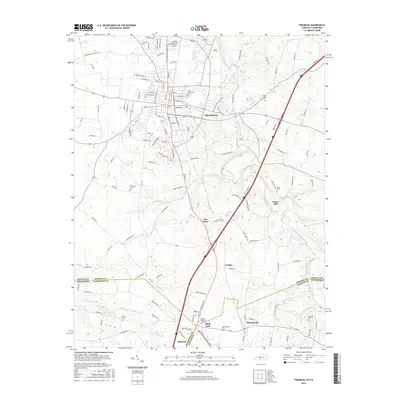
2016 Map of Franklin
USGS Topo · Published 2016About this map
Franklin, Kentucky, serves as the northern anchor of this landscape, while the state line creates a distinct political boundary with Tennessee to the south. The area is defined by a network of rural settlements and family-named landmarks that speak to the region's agricultural and social history. Notable concentrations of local heritage are found in places like Mitchellville and the small community of Black Jack, while the legacy of early industry and commerce is preserved in names like Peden Mill.
Find a feature on this map
130 named features on this map. Tap any name to fly to it.
Don’t see what you’re looking for? This feature index may not catch every label — zoom into the map to look around manually.
Map Details
Editions of this 2016 Franklin Map
This is the sole edition of this map. No revisions or reprints were ever made.
Other maps of this area

1921 · Bowling Green
USGS Topo · 1:62,500

1923 · Bowling Green
USGS Topo · 1:62,500

1928 · Adolphus
USGS Topo · 1:48,000

1931 · Adolphus
USGS Topo · 1:62,500

1942 · Gallatin
USGS Topo · 1:100,000

1951 · Woodburn
USGS Topo · 1:24,000

1951 · Franklin
USGS Topo · 1:24,000

1951 · Prices Mill
USGS Topo · 1:24,000

1951 · Auburn
USGS Topo · 1:24,000

1953 · Orlinda
USGS Topo · 1:24,000