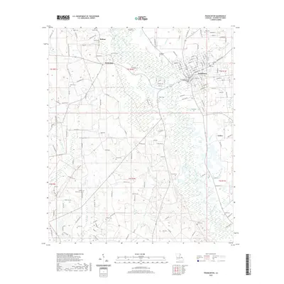
2020 Map of Franklinton
USGS Topo · Published 2020About this map
Franklinton serves as the focal point of this Washington Parish landscape, situated along the winding course of the Bogue Chitto river. The area is defined by a dense network of family-named cemeteries that speak to the deep genealogical roots of the region, including the Bickham Cem, Magee Cem, and Slocum Cem. The town center is anchored by the Washington Parish Courthouse, surrounded by a grid of streets that transition into parish roads reaching toward outlying settlements like Bickham and Richardson. To the east, the Green Lakes and Lawrence Cr break the forested terrain, while the southern reaches are marked by the Daniel Br and Bullock Cem. This survey illustrates a rural community where the river remains the primary geographic feature, influencing the placement of old homesteads and the layout of the road network through several townships.
Find a feature on this map
129 named features on this map. Tap any name to fly to it.
Don’t see what you’re looking for? This feature index may not catch every label — zoom into the map to look around manually.
Map Details
Editions of this 2020 Franklinton Map
This is the sole edition of this map. No revisions or reprints were ever made.
Other maps of this area

1939 · Zona
USGS Topo · 1:31,680

1939 · Sunny Hill
USGS Topo · 1:31,680

1939 · Clifton
USGS Topo · 1:31,680

1942 · Husser
USGS Topo · 1:31,680

1942 · Thigpen
USGS Topo · 1:31,680

1942 · Wilmer
USGS Topo · 1:31,680

1942 · Thomas
USGS Topo · 1:31,680

1950 · Folsom
USGS Topo · 1:31,680

1950 · Franklinton
USGS Topo · 1:31,680

1954 · Folsom
USGS Topo · 1:62,500