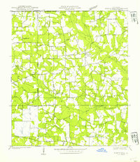
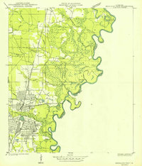
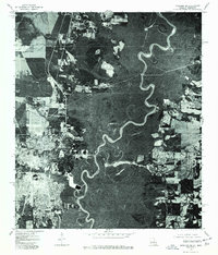
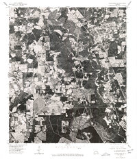
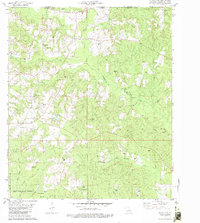
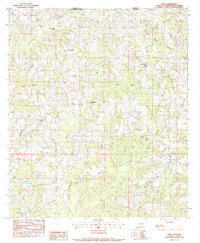
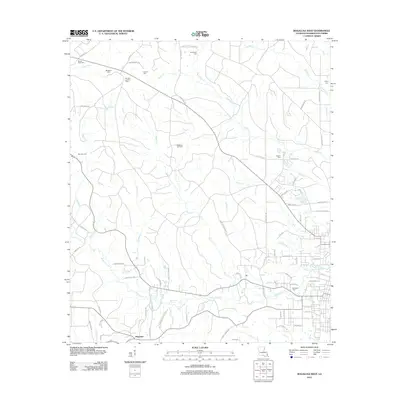
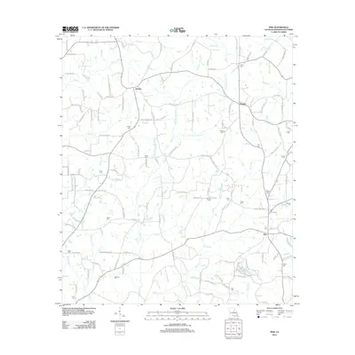
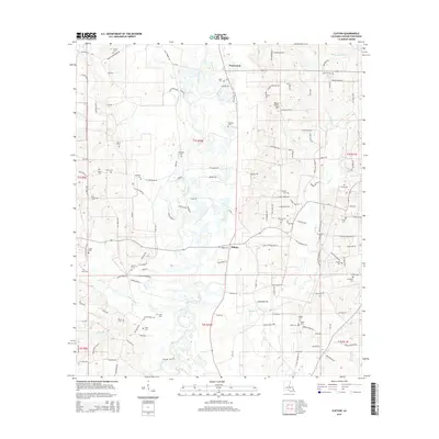
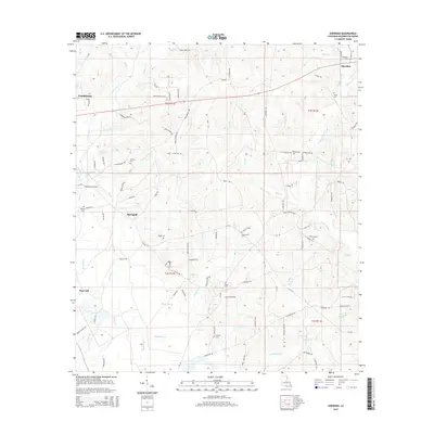
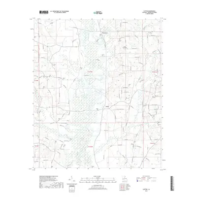
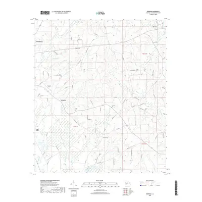
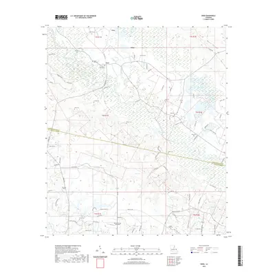
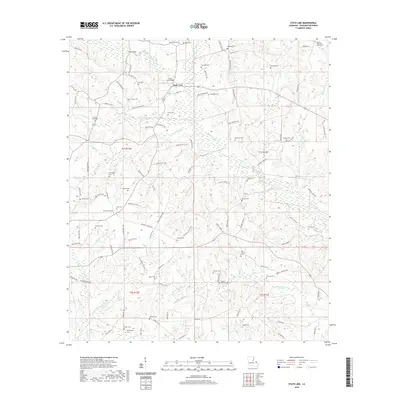
1939 Map of Sunny Hill
USGS Topo · Published 1939About this map
The Louisiana Mississippi Boundary Line defines the northern edge of this rural landscape, where small rural communities and family landholdings centered around parish-line crossroad settlements in the late 1930s. The area is marked by a dense network of country schools like Sunlight Sch and Bladefield Sch, alongside several historic burial grounds including Ott Cem and Mc Elveen Cem.
Find a feature on this map
29 named features on this map. Tap any name to fly to it.
Don’t see what you’re looking for? This feature index may not catch every label — zoom into the map to look around manually.
Map Details
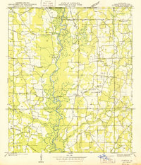
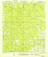
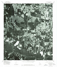
Editions of this 1939 Sunny Hill Map
This is the sole edition of this map. No revisions or reprints were ever made.
Historical Maps of Sunny Hill Through Time
65 maps found
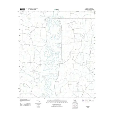
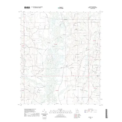
1939 Clifton
Washington Parish, LA
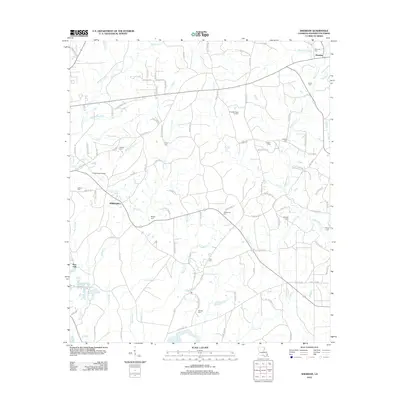
1939 Sunny Hill
Washington Parish, LA

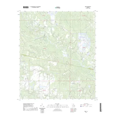
1939 Zona
Washington Parish, LA
1942 Thigpen
Washington Parish, LA
1942 Thomas
Washington Parish, LA
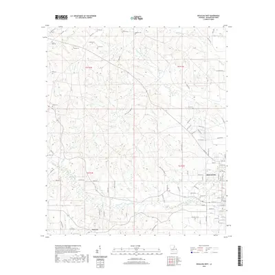
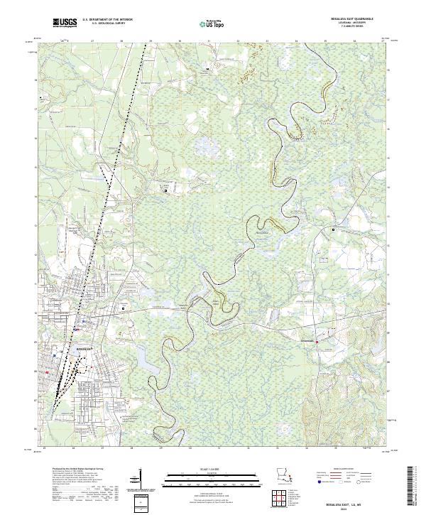
1949 Bogalusa East
Washington Parish, LA
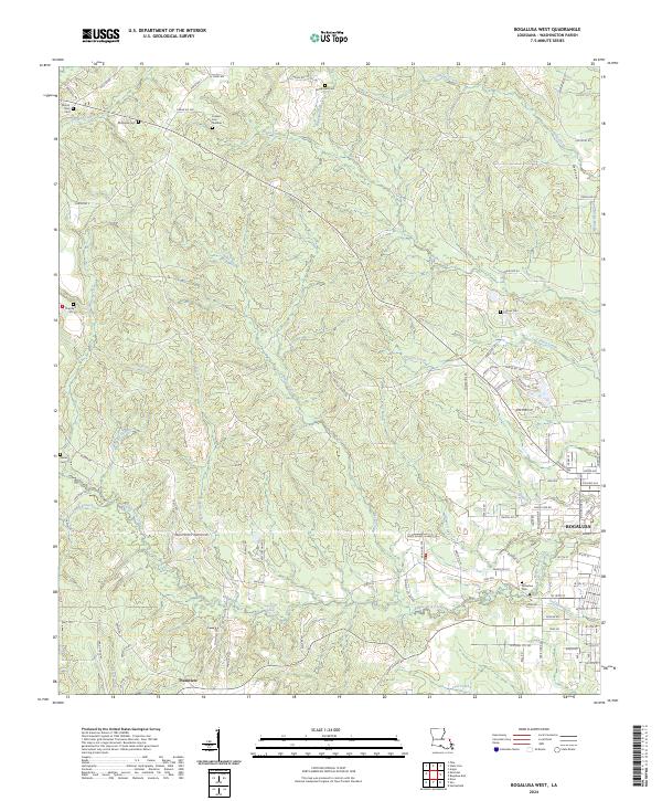
1949 Bogalusa West
Washington Parish, LA
1950 Crains Creek
Washington Parish, LA
1976 Bogalusa NE
Washington Parish, LA
1976 Bogalusa SE
Washington Parish, LA
1976 Bogalusa SW
Washington Parish, LA
1976 Folsom NE
Washington Parish, LA
1976 Franklinton SE
Washington Parish, LA
1976 Franklinton SW
Washington Parish, LA
1976 Sun NW
Washington Parish, LA
1982 Bogalusa East
Washington Parish, LA
1982 Bogalusa West
Washington Parish, LA
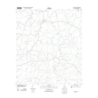
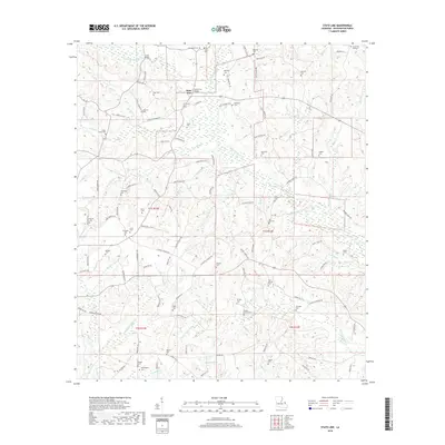
1982 State Line
Washington Parish, LA
1983 Clifton
Washington Parish, LA
1983 Enon
Washington Parish, LA
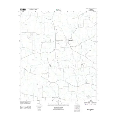
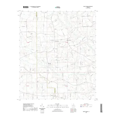
1983 Mount Hermon
Washington Parish, LA
1983 Pine
Washington Parish, LA
1983 Sheridan
Washington Parish, LA
1997 Bogalusa East
Washington Parish, LA
2012 Bogalusa East
Washington Parish, LA
2012 Bogalusa West
Washington Parish, LA
2012 Clifton
Washington Parish, LA
2012 Enon
Washington Parish, LA
2012 Mount Hermon
Washington Parish, LA
2012 Pine
Washington Parish, LA
2012 Sheridan
Washington Parish, LA
2012 State Line
Washington Parish, LA

2015 Bogalusa East
Washington Parish, LA
2015 Bogalusa West
Washington Parish, LA
2015 Clifton
Washington Parish, LA
2015 Enon
Washington Parish, LA
2015 Mount Hermon
Washington Parish, LA
2015 Pine
Washington Parish, LA
2015 Sheridan
Washington Parish, LA
2015 State Line
Washington Parish, LA
2018 Bogalusa East
Washington Parish, LA
2018 Bogalusa West
Washington Parish, LA
2018 Clifton
Washington Parish, LA
2018 Enon
Washington Parish, LA
2018 Mount Hermon
Washington Parish, LA
2018 Pine
Washington Parish, LA
2018 Sheridan
Washington Parish, LA
2018 State Line
Washington Parish, LA

2020 Bogalusa East
Washington Parish, LA
2020 Bogalusa West
Washington Parish, LA
2020 Clifton
Washington Parish, LA
2020 Enon
Washington Parish, LA
2020 Mount Hermon
Washington Parish, LA
2020 Pine
Washington Parish, LA
2020 Sheridan
Washington Parish, LA
2020 State Line
Washington Parish, LA
2023 Enon
Washington Parish, LA
2024 Bogalusa East
Washington Parish, LA
2024 Bogalusa West
Washington Parish, LA
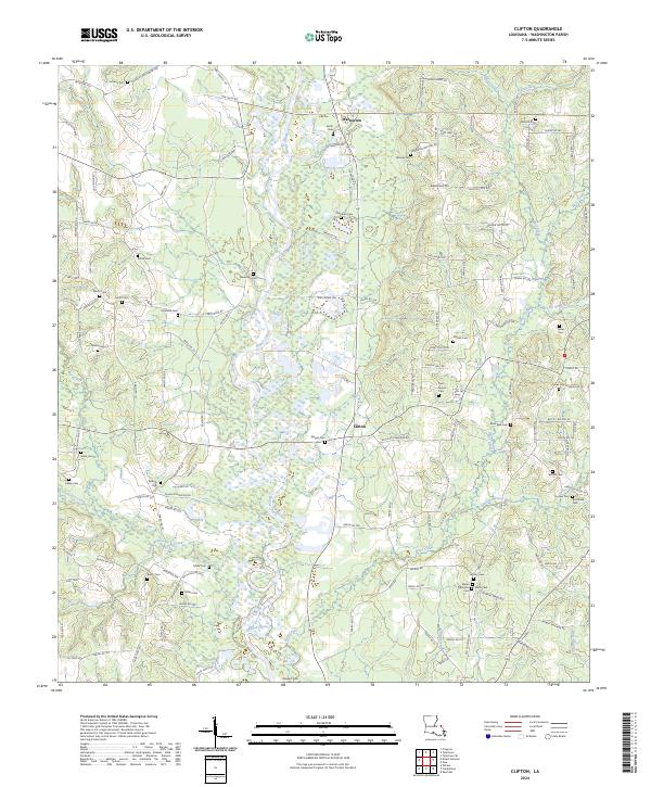
2024 Clifton
Washington Parish, LA
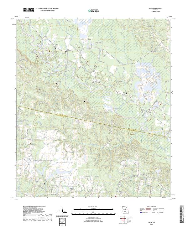
2024 Enon
Washington Parish, LA
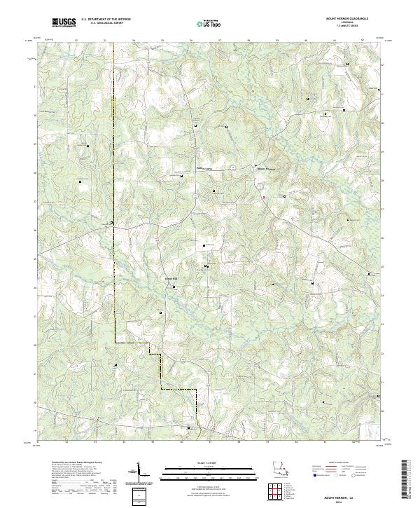
2024 Mount Hermon
Washington Parish, LA
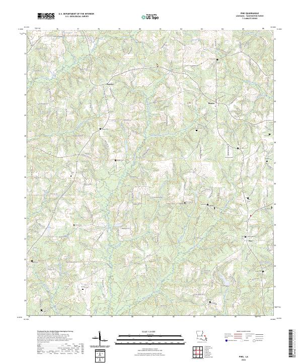
2024 Pine
Washington Parish, LA
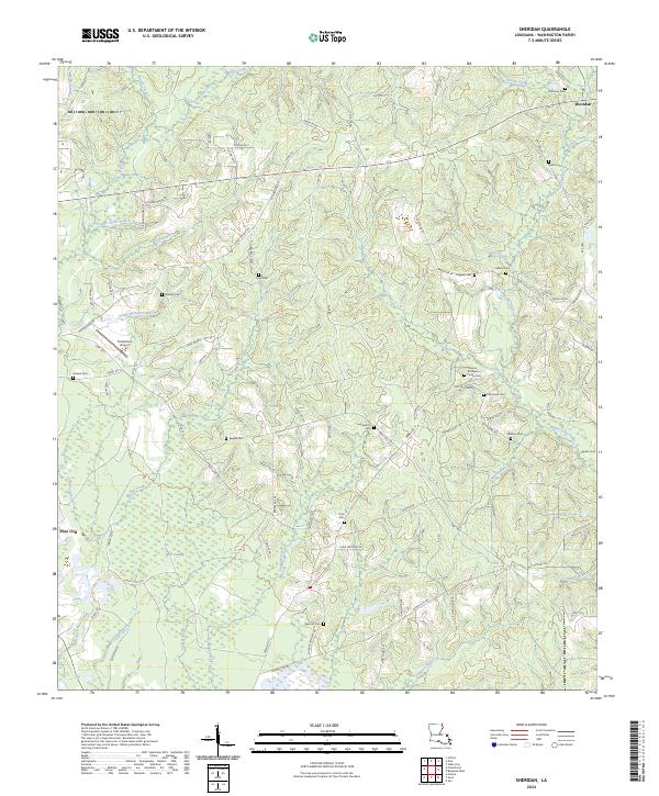
2024 Sheridan
Washington Parish, LA
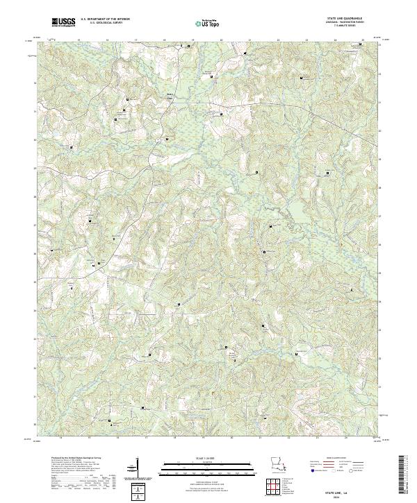
2024 State Line
Washington Parish, LA