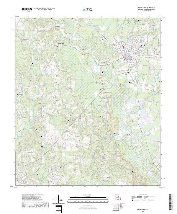
2024 Map of Franklinton
USGS Topo · Published 2024About this map
The town of Franklinton, serving as the seat of Washington Parish, is the primary focal point of this modern survey. The Washington Parish Courthouse stands near the center of the local grid, surrounded by established neighborhoods and local arteries like Hwy 1056. The landscape is dominated by the winding path of the Bogue Chitto, which cuts a broad valley through the region, fed by numerous tributaries such as Mile Branch and Bickham Branch.
Find a feature on this map
176 named features on this map. Tap any name to fly to it.
Don’t see what you’re looking for? This feature index may not catch every label — zoom into the map to look around manually.
Map Details
Editions of this 2024 Franklinton Map
This is the sole edition of this map. No revisions or reprints were ever made.
Other maps of this area

1939 · Zona
USGS Topo · 1:31,680

1939 · Sunny Hill
USGS Topo · 1:31,680

1939 · Clifton
USGS Topo · 1:31,680

1942 · Husser
USGS Topo · 1:31,680

1942 · Thigpen
USGS Topo · 1:31,680

1942 · Wilmer
USGS Topo · 1:31,680

1942 · Thomas
USGS Topo · 1:31,680

1950 · Folsom
USGS Topo · 1:31,680

1950 · Franklinton
USGS Topo · 1:31,680

1954 · Folsom
USGS Topo · 1:62,500