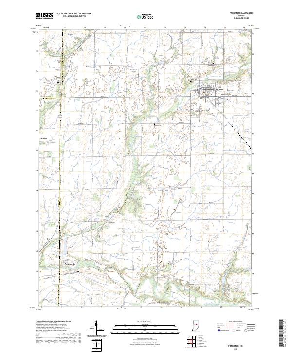
2022 Map of Frankton
USGS Topo · Published 2022About this map
The White River winds through the southern portion of this landscape, anchoring the settlement at Perkinsville, where the Perkinsville Cem and White River define the local topography. Further north, Frankton serves as a primary residential and street grid hub, featuring several fraternal and community landmarks including the Knights of Pythias Cem and Sigler Cem. The surrounding rural Madison and Hamilton County borderlands are defined by an extensive drainage network, with Pipe Creek and its many tributaries like Lamberson Ditch and Swankell Ditch cutting through the agricultural fields.
Find a feature on this map
89 named features on this map. Tap any name to fly to it.
Don’t see what you’re looking for? This feature index may not catch every label — zoom into the map to look around manually.
Map Details
Editions of this 2022 Frankton Map
This is the sole edition of this map. No revisions or reprints were ever made.
Other maps of this area

1952 · Anderson
USGS Topo · 1:24,000

1953 · Lapel
USGS Topo · 1:24,000

1953 · Riverwood
USGS Topo · 1:24,000

1953 · Muncie
USGS Topo · 1:250,000

1956 · Muncie
USGS Topo · 1:250,000

1960 · Elwood
USGS Topo · 1:24,000

1960 · Alexandria
USGS Topo · 1:24,000

1960 · Windfall
USGS Topo · 1:24,000

1960 · Anderson North
USGS Topo · 1:24,000

1961 · Anderson South
USGS Topo · 1:24,000