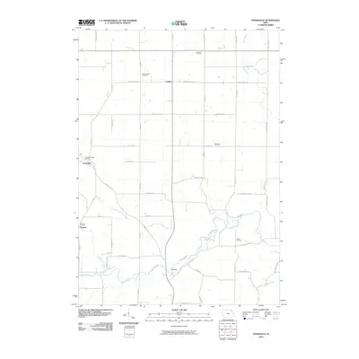
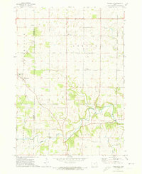
2010 Map of Frankville
USGS Topo · Published 2010About this map
The Yellow River winds through the southern reaches of this Iowa landscape, joined by its many tributaries including the Upper Branch Yellow Creek and the North Fork Yellow River. Small agricultural hubs like Frankville and Moneek anchor the local road network, which is defined by names like Ludlow Rd and Empire Dr. The map reveals a high density of burial sites for a rural area, with the Frankville Village Cemetery, Moneek Cemetery, and Bethlehem Cemetery serving as primary points of interest for local history and genealogy research. Further north, the settlement of Ludlow sits near the Salem United Cemetery and Zalmona Cemetery, illustrating how these early communities were organized around their churches and family plots near the winding waters of Teeple Creek.
Find a feature on this map
49 named features on this map. Tap any name to fly to it.
Don’t see what you’re looking for? This feature index may not catch every label — zoom into the map to look around manually.
Map Details
Editions of this 2010 Frankville Map
This is the sole edition of this map. No revisions or reprints were ever made.
Other maps of this area

1903 · Waukon
USGS Topo · 1:125,000

1906 · Decorah
USGS Topo · 1:125,000

1958 · La Crosse
USGS Topo · 1:250,000

1961 · La Crosse
USGS Topo · 1:250,000

1965 · La Crosse
USGS Topo · 1:250,000

1968 · Waukon
USGS Topo · 1:24,000
1971 · Postville
USGS Topo · 1:24,000
1971 · Rossville
USGS Topo · 1:24,000
1971 · Monona
USGS Topo · 1:24,000
1971 · Frankville
USGS Topo · 1:24,000