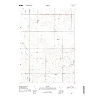
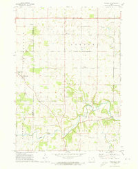
2018 Map of Frankville
USGS Topo · Published 2018About this map
Frankville and Ludlow anchor this rural landscape along the boundary of Winneshiek Co and Allamakee Co. The area is defined by the winding course of the Yellow River and its various tributaries, including the N Fork Yellow River and Upper Br Yellow Cr. For those researching local family history, the map provides precise locations for several burial grounds, such as Frankville Village Cem, Salem United Cem, and the remote Smith Cem near the riverbanks. The road network, including Frankville Rd and Co Trunk Hwy W60, reflects a long-standing agricultural pattern, connecting scattered farmsteads across the undulating terrain. Notable landmarks like the Great Owls Club Dr and Cook Slough offer specific points of interest for understanding the local social and physical geography of this corner of northeast Iowa.
Find a feature on this map
59 named features on this map. Tap any name to fly to it.
Don’t see what you’re looking for? This feature index may not catch every label — zoom into the map to look around manually.
Map Details
Editions of this 2018 Frankville Map
This is the sole edition of this map. No revisions or reprints were ever made.
Other maps of this area

1903 · Waukon
USGS Topo · 1:125,000

1906 · Decorah
USGS Topo · 1:125,000

1958 · La Crosse
USGS Topo · 1:250,000

1961 · La Crosse
USGS Topo · 1:250,000

1965 · La Crosse
USGS Topo · 1:250,000

1968 · Waukon
USGS Topo · 1:24,000
1971 · Postville
USGS Topo · 1:24,000
1971 · Rossville
USGS Topo · 1:24,000
1971 · Monona
USGS Topo · 1:24,000
1971 · Frankville
USGS Topo · 1:24,000