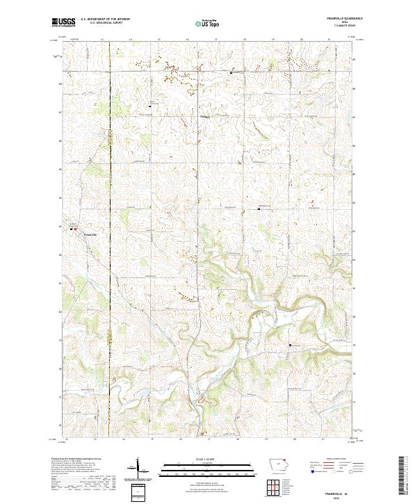
2022 Map of Frankville
USGS Topo · Published 2022About this map
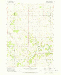
Yellow River drainage patterns define the topography of this corner of northeast Iowa, where the Winneshiek and Allamakee county line bisects the landscape. The small settlements of Frankville and Ludlow serve as local hubs for a network of farm roads, including Bethlehem Dr and Picnic Woods Dr. For those tracing local families, the map identifies several distinct burial grounds scattered across the townships, such as Zalmona Cem, Bethlehem Cem, and Smith Cem. Significant tributaries like Upper Br Yellow Cr and the N Fork Yellow River carve through the terrain, while landmarks like Cook Slough and Teeple Cr provide specific geographical markers for researchers of this rural agricultural district.
Find a feature on this map
61 named features on this map. Tap any name to fly to it.
Don’t see what you’re looking for? This feature index may not catch every label — zoom into the map to look around manually.
Map Details
Editions of this 2022 Frankville Map
This is the sole edition of this map. No revisions or reprints were ever made.
Other maps of this area

1903 · Waukon
USGS Topo · 1:125,000

1906 · Decorah
USGS Topo · 1:125,000

1958 · La Crosse
USGS Topo · 1:250,000

1961 · La Crosse
USGS Topo · 1:250,000

1965 · La Crosse
USGS Topo · 1:250,000

1968 · Waukon
USGS Topo · 1:24,000
1971 · Postville
USGS Topo · 1:24,000
1971 · Rossville
USGS Topo · 1:24,000
1971 · Monona
USGS Topo · 1:24,000
1971 · Frankville
USGS Topo · 1:24,000