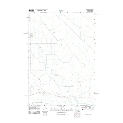
2011 Map of Frannie
USGS Topo · Published 2011About this map
Frannie and Deaver anchor this section of northern Wyoming, where the high plains are transformed by a network of irrigation works. The landscape is defined by the Frannie Canal, Deaver Canal, and numerous laterals like Lateral D-56 and Lateral D-23, which divert water to sustain agriculture in this arid region. These man-made waterways cut across the natural drainage of Sage Creek and Polecat Creek, illustrating the extensive engineering required for settlement. To the north, the terrain rises toward Dry Gulch, where the Dry Gulch Mine indicates the area's mineral interests. Genealogists will find the Deaver Cemetery located south of its namesake town, while the grid of numbered county roads and lanes provides a clear layout of the local homesteading and ranching footprints as they existed in the early 21st century.
Find a feature on this map
38 named features on this map. Tap any name to fly to it.
Don’t see what you’re looking for? This feature index may not catch every label — zoom into the map to look around manually.
Map Details
Editions of this 2011 Frannie Map
This is the sole edition of this map. No revisions or reprints were ever made.
Other maps of this area

1954 · Billings
USGS Topo · 1:250,000

1955 · Cody
USGS Topo · 1:250,000

1957 · Billings
USGS Topo · 1:250,000

1958 · Billings
USGS Topo · 1:250,000

1958 · Cody
USGS Topo · 1:250,000

1962 · Cody
USGS Topo · 1:250,000

1964 · Red Pryor Mountain
USGS Topo · 1:24,000

1966 · Frannie
USGS Topo · 1:24,000

1966 · Garland
USGS Topo · 1:24,000

1966 · Cowley
USGS Topo · 1:24,000