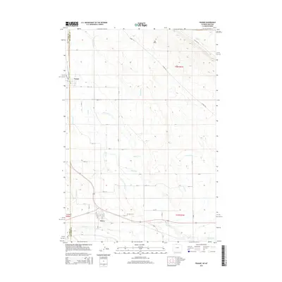
2015 Map of Frannie
USGS Topo · Published 2015About this map
Deaver and Frannie anchor this landscape along the border of Park and Big Horn counties, where an intricate network of irrigation supports the region's agriculture. The Deaver Canal, Fannie Canal, and numerous laterals like Lateral D-56 trace the contour of the terrain, diverting water from natural drainages such as Sage Creek and Polecat Cr. This highly engineered water system is a hallmark of the Big Horn Basin, transforming the arid ground near Big Wash into productive land.
Find a feature on this map
44 named features on this map. Tap any name to fly to it.
Don’t see what you’re looking for? This feature index may not catch every label — zoom into the map to look around manually.
Map Details
Editions of this 2015 Frannie Map
This is the sole edition of this map. No revisions or reprints were ever made.
Other maps of this area

1954 · Billings
USGS Topo · 1:250,000

1955 · Cody
USGS Topo · 1:250,000

1957 · Billings
USGS Topo · 1:250,000

1958 · Billings
USGS Topo · 1:250,000

1958 · Cody
USGS Topo · 1:250,000

1962 · Cody
USGS Topo · 1:250,000

1964 · Red Pryor Mountain
USGS Topo · 1:24,000

1966 · Frannie
USGS Topo · 1:24,000

1966 · Garland
USGS Topo · 1:24,000

1966 · Cowley
USGS Topo · 1:24,000